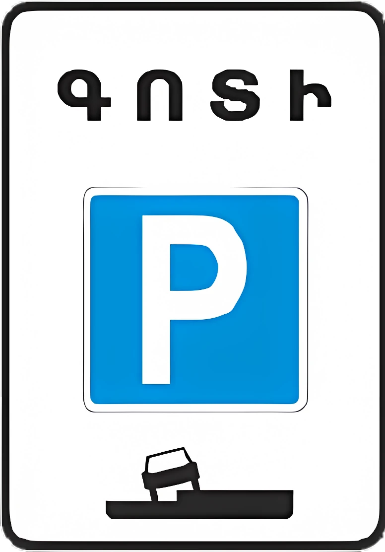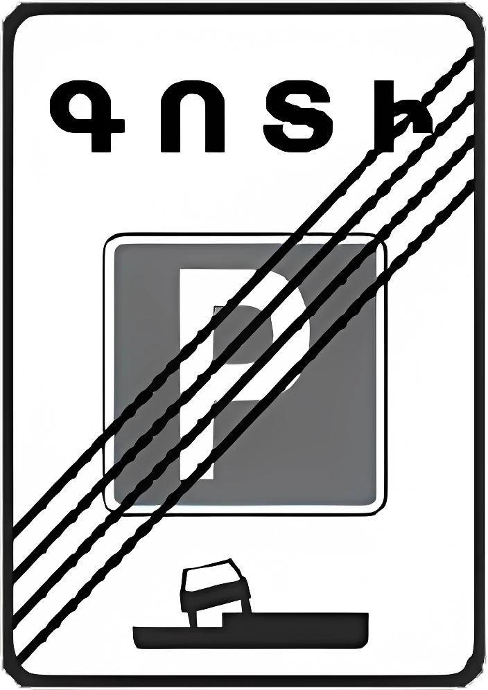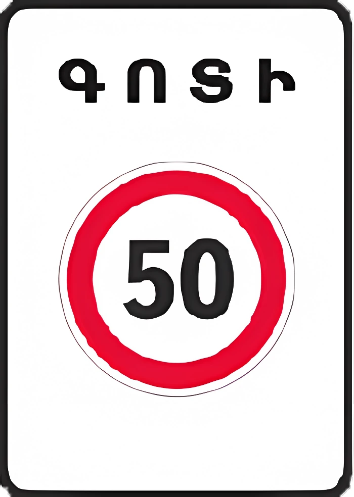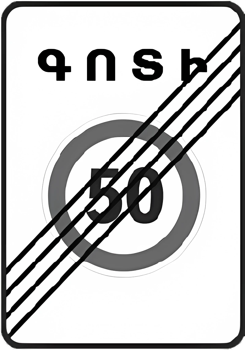
Road signs of Armenia — all 280 signs with picture and meaning

Updated 2026-10-13 · official question bank of 2 October 2026

All 280 road signs of the Armenian Traffic Rules in 8 groups: picture, official name and links to the exam questions where the sign appears.

Warning signs

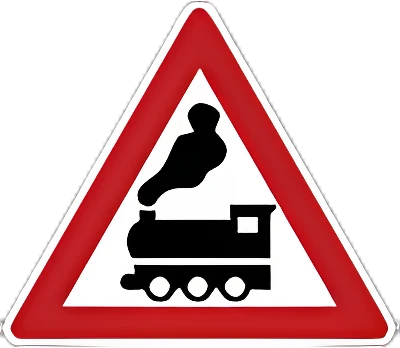
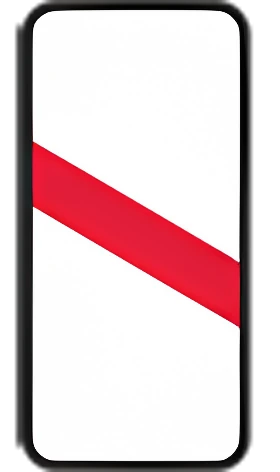
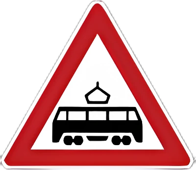
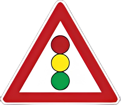
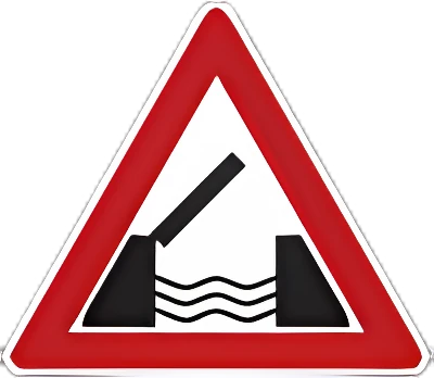
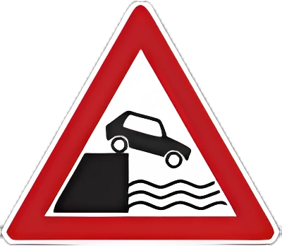
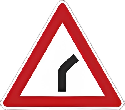
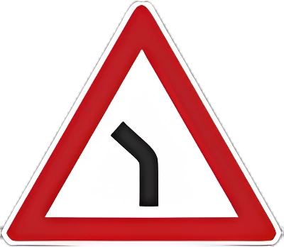
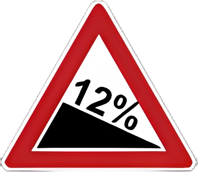
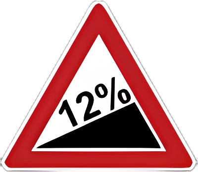
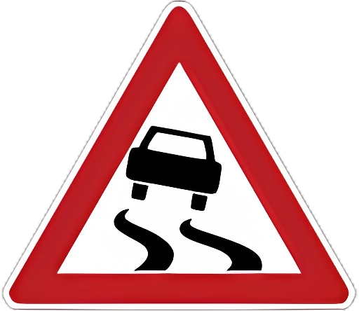
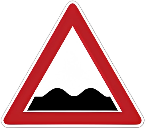
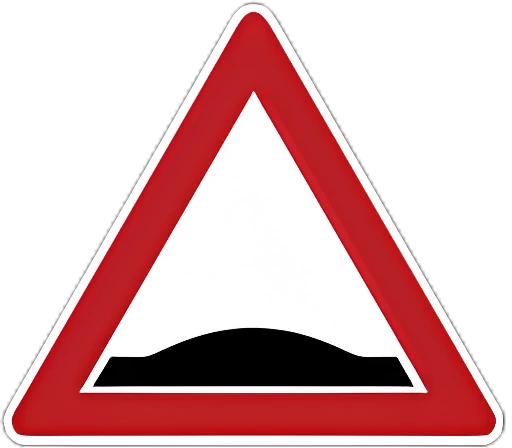
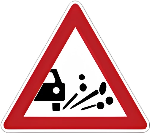
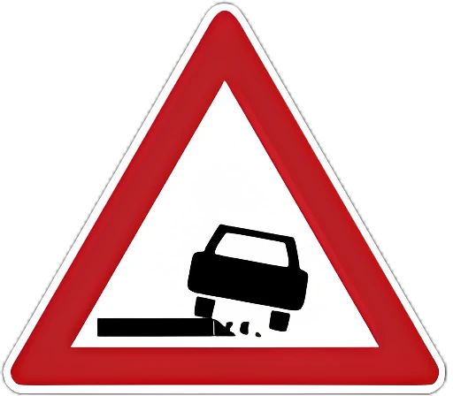
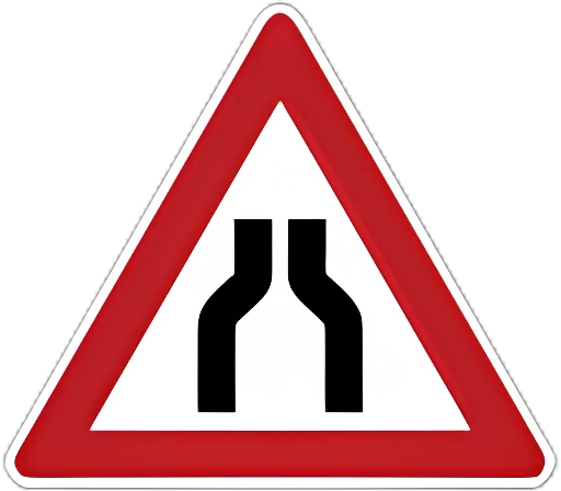
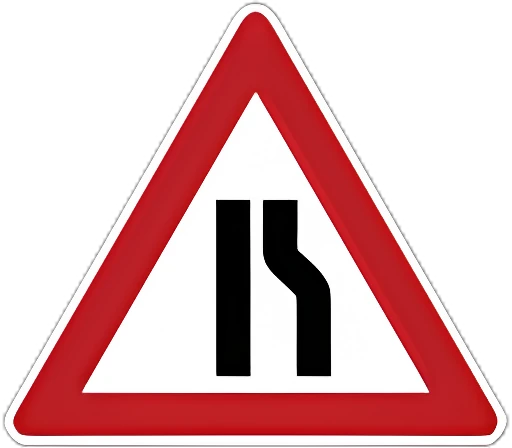
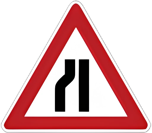
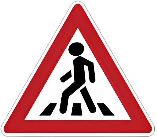
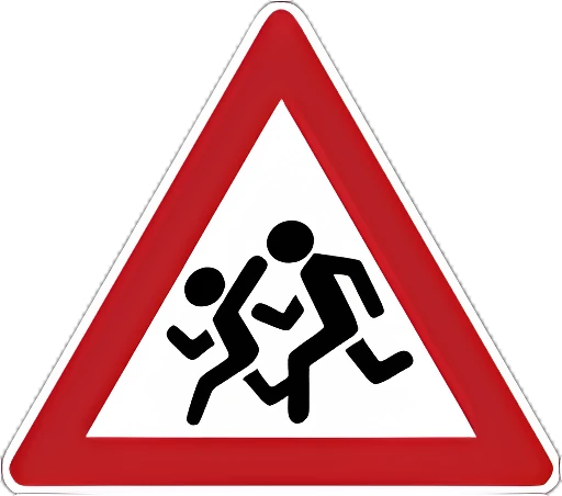
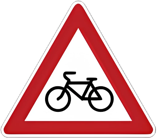
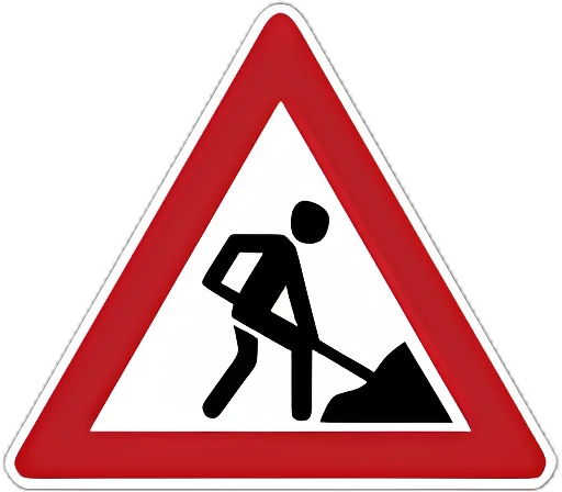
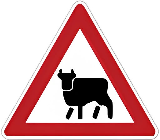
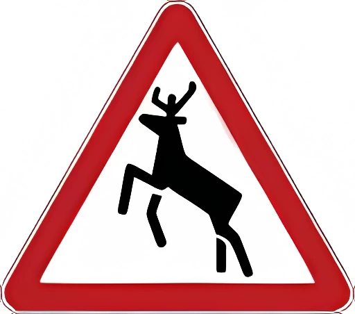
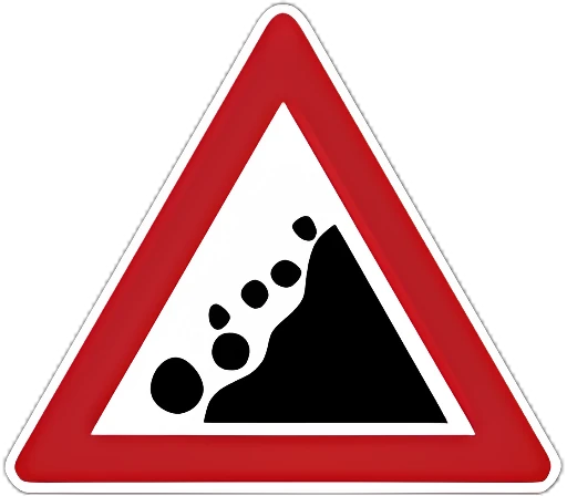
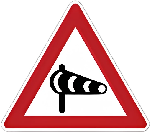
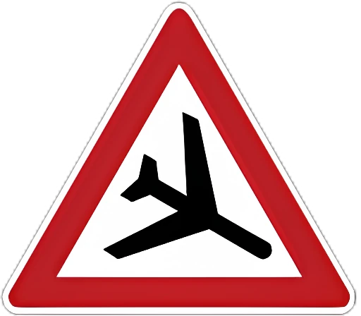
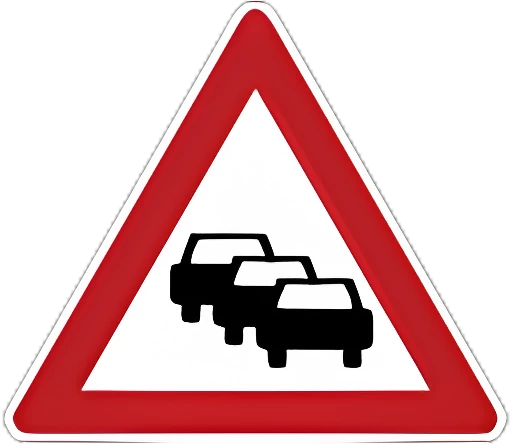
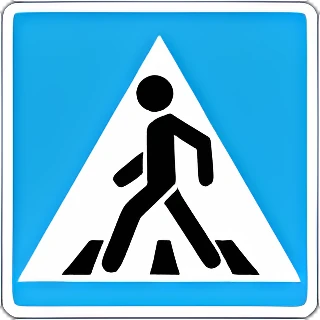
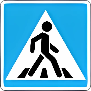
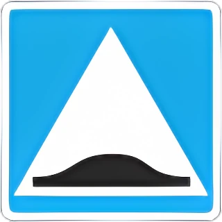
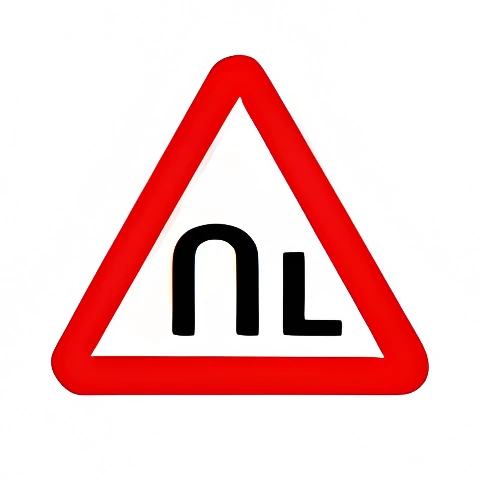
1.1 Railway crossing with a barrier.1.11.2 Railway crossing without a barrier.1.21.3.1 Single track, no barrier.1.3.11.3.2 Multiple tracks, no barrier.1.3.21.4.1 Approach to a railway crossing (outside a built-up area).1.4.11.4.2 Approach to a railway crossing (outside a built-up area).1.4.21.4.3 Approach to a railway crossing (outside a built-up area).1.4.31.4.4 Approach to a railway crossing (outside a built-up area).1.4.41.4.5 Approach to a railway crossing (outside a built-up area).1.4.51.4.6 Approach to a railway crossing (outside a built-up area).1.4.61.5 Intersection with a tram line.1.51.6 Intersection of equal-priority roads.1.61.7 Intersection with a roundabout.1.71.8 Traffic light ahead: an intersection, pedestrian crossing, or section of road controlled by a traffic light.1.81.9 Drawbridge: a drawbridge or ferry crossing.1.91.10 Approach to an embankment/quayside.1.101.11.1 Dangerous bend (1.11.1: to the right, 1.11.2: to the left).1.11.11.11.2 Dangerous bend (1.11.1: to the right, 1.11.2: to the left).1.11.21.12.1 Dangerous bends (1.12.1: first bend right, 1.12.2: first bend left).1.12.11.12.2 Dangerous bends (1.12.1: first bend right, 1.12.2: first bend left).1.12.21.13 Steep descent.1.131.14 Steep ascent.1.141.15 Slippery road.1.151.16 Uneven road surface.1.161.17 Speed bump.1.171.18 Loose gravel.1.181.19 Dangerous road shoulder.1.191.20.1 Road narrows.1.20.11.20.2 Road narrows.1.20.21.20.3 Road narrows.1.20.31.21 Two-way traffic: start of a road section with oncoming traffic.1.211.22 Pedestrian crossing.1.221.23 Children: a section of road near a school, camp, or similar facility where children may appear on the roadway.1.231.24 Crossing with a bicycle path or combined bicycle/pedestrian path.1.241.25 Road works.1.251.26 Livestock crossing.1.261.27 Wild animals.1.271.28 Falling rocks.1.281.29 Side wind.1.291.30 Low-flying aircraft.1.301.31 Tunnel: a tunnel without artificial lighting, or with limited visibility of its entrance.1.311.32 Traffic jam ahead.1.321.33 Other dangers not covered by other warning signs.1.331.34.1 Direction of turn: indicates the direction on a sharp bend with limited visibility, or the detour around road works.1.34.11.34.2 Direction of turn: indicates the direction on a sharp bend with limited visibility, or the detour around road works.1.34.21.34.3 Direction of turn: indicates the direction at a T-junction or road fork, or the detour around road works.1.34.3

Priority signs

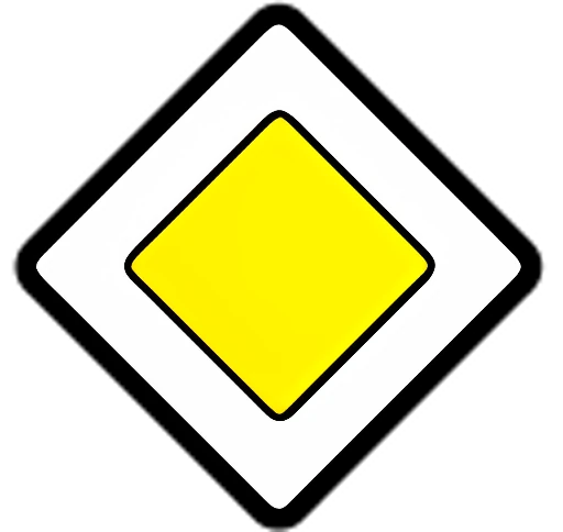
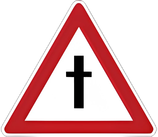
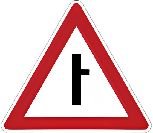
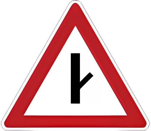
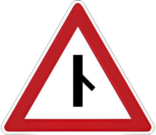
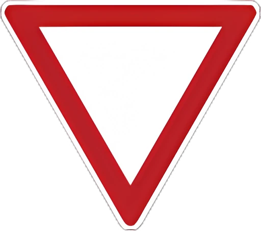
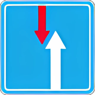
2.1 Priority road: a road with the right of way at unregulated intersections.2.12.2 End of priority road.2.22.3.1 Intersection with a minor road.2.3.12.3.2 Minor road joining from the side.2.3.22.3.3 Minor road joining from the side.2.3.32.3.4 Minor road joining from the side.2.3.42.3.5 Minor road joining from the side.2.3.52.3.6 Minor road joining from the side.2.3.62.3.7 Minor road joining from the side.2.3.72.4 Give way: yield to vehicles on the intersecting road, or on the priority road if plate 8.13 is present.2.42.5 Stop: stopping at the stop line (or the edge of the intersecting road, if there is none) is mandatory before proceeding; also used before railway crossings and checkpoints.2.52.6 Priority for oncoming traffic: entering a narrow section that would obstruct oncoming traffic is prohibited.2.62.7 Priority over oncoming traffic: a narrow section where the driver has priority over oncoming vehicles.2.7

Prohibitory signs

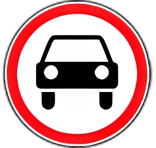
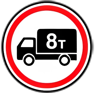
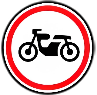
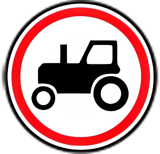
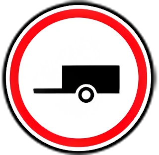
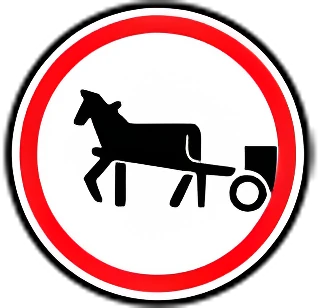
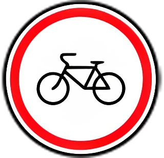
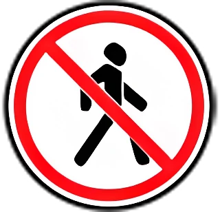
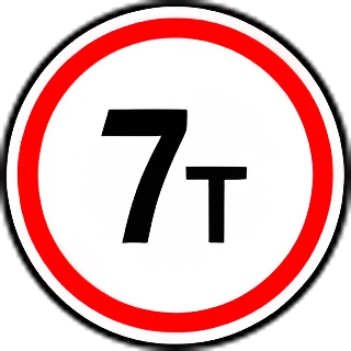
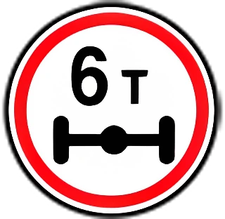
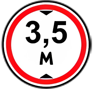
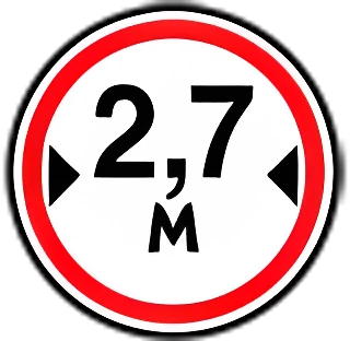
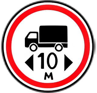
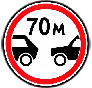
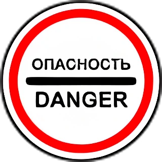
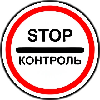
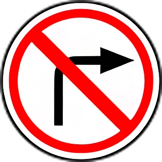
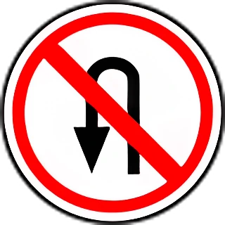
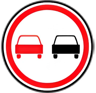
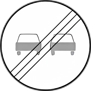
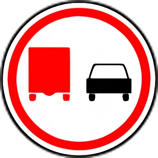
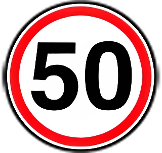
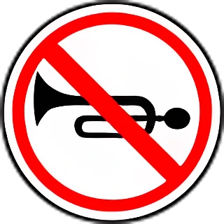
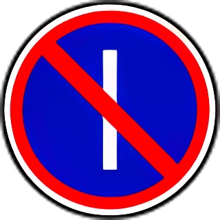
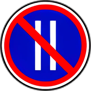
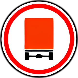
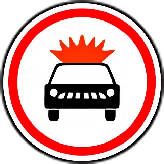
3.1 No entry: entry is prohibited for all vehicles in this direction.3.13.2 No vehicles: all vehicles are prohibited.3.23.3 No motor vehicles.3.33.4 No trucks: trucks and vehicle combinations over 3.5 t (or over the mass shown), tractors, and self-propelled machines are prohibited.3.43.5 No motorcycles.3.53.6 No tractors or self-propelled machines.3.63.7 No vehicles with trailers, and no towing of motor vehicles.3.73.8 No horse-drawn vehicles, ridden or pack animals, or herding of livestock.3.83.9 No bicycles or mopeds.3.93.10 No pedestrians.3.103.11 Maximum weight limit: vehicles whose actual mass exceeds the value shown are prohibited.3.113.12 Axle weight limit: vehicles whose actual axle load exceeds the value shown are prohibited.3.123.13 Height limit: vehicles taller (loaded or unloaded) than the value shown are prohibited.3.133.14 Width limit: vehicles wider (loaded or unloaded) than the value shown are prohibited.3.143.15 Length limit: vehicles longer (loaded or unloaded) than the value shown are prohibited.3.153.16 Minimum following distance: vehicles following closer than the distance shown are prohibited.3.163.17.1 Customs: passing without stopping at customs is prohibited.3.17.13.17.2 Danger: further travel is prohibited for all vehicles due to an accident, fire, or other danger ahead.3.17.23.17.3 Checkpoint: passing without stopping through the checkpoint is prohibited.3.17.33.18.1 No right turn.3.18.13.18.2 No left turn.3.18.23.19 No U-turn.3.193.20 No overtaking, except slow-moving vehicles, horse-drawn carts, bicycles, mopeds, and two-wheeled motorcycles without a sidecar.3.203.21 End of no-overtaking zone.3.213.22 No overtaking by trucks over 3.5 t.3.223.23 End of no-overtaking zone for trucks.3.233.24 Maximum speed limit (km/h).3.243.25 End of maximum speed limit zone.3.253.26 No horn, except to prevent an accident.3.263.27 No stopping or parking.3.273.28 No parking.3.283.29 No parking on odd-numbered days of the month.3.293.30 No parking on even-numbered days of the month (when paired with 3.29 on the opposite side, parking is allowed on both sides from 19:00 to 21:00).3.303.31 End of all restrictions.3.313.32 No vehicles carrying dangerous goods (fitted with a "Dangerous goods" plate).3.323.33 No vehicles carrying explosive or flammable cargo.3.33

Mandatory signs

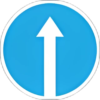
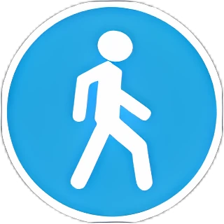
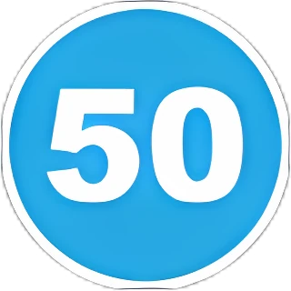
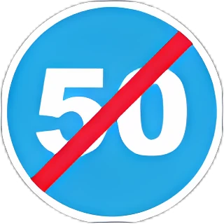
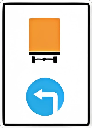
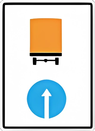
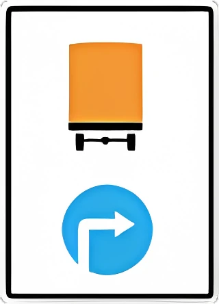
4.1.1 Straight ahead only.4.1.14.1.2 Right turn only.4.1.24.1.3 Left turn only.4.1.34.1.4 Straight ahead or right turn only.4.1.44.1.5 Straight ahead or left turn only.4.1.54.1.6 Right or left turn only (U-turn also allowed).4.1.64.2.1 Pass obstacle on the right.4.2.14.2.2 Pass obstacle on the left.4.2.24.2.3 Pass obstacle on either side.4.2.34.3 Roundabout: traffic moves in a circle in the direction of the arrows.4.34.4 Bicycle path.4.44.5 Footpath: pedestrians only.4.54.6 Minimum speed limit (km/h).4.64.7 End of minimum speed limit zone.4.74.8.1 Direction for vehicles carrying dangerous goods: 4.8.1 straight ahead, 4.8.2 right, 4.8.3 left.4.8.14.8.2 Direction for vehicles carrying dangerous goods: 4.8.1 straight ahead, 4.8.2 right, 4.8.3 left.4.8.24.8.3 Direction for vehicles carrying dangerous goods: 4.8.1 straight ahead, 4.8.2 right, 4.8.3 left.4.8.3

Special regulation signs
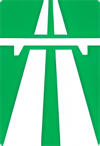
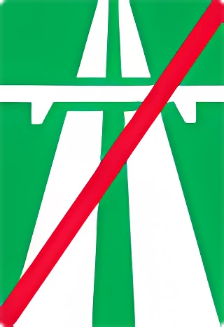
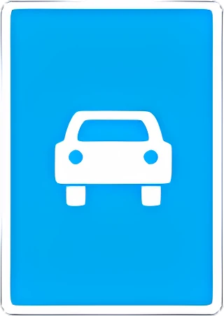
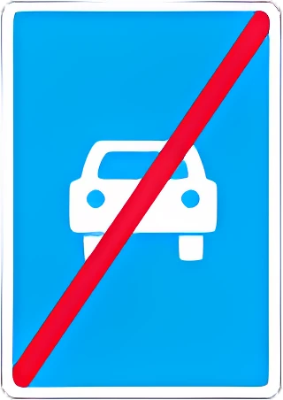
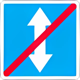
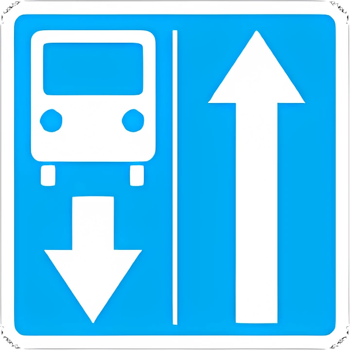
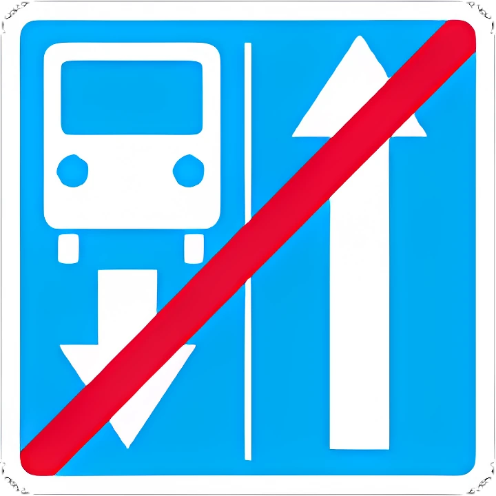
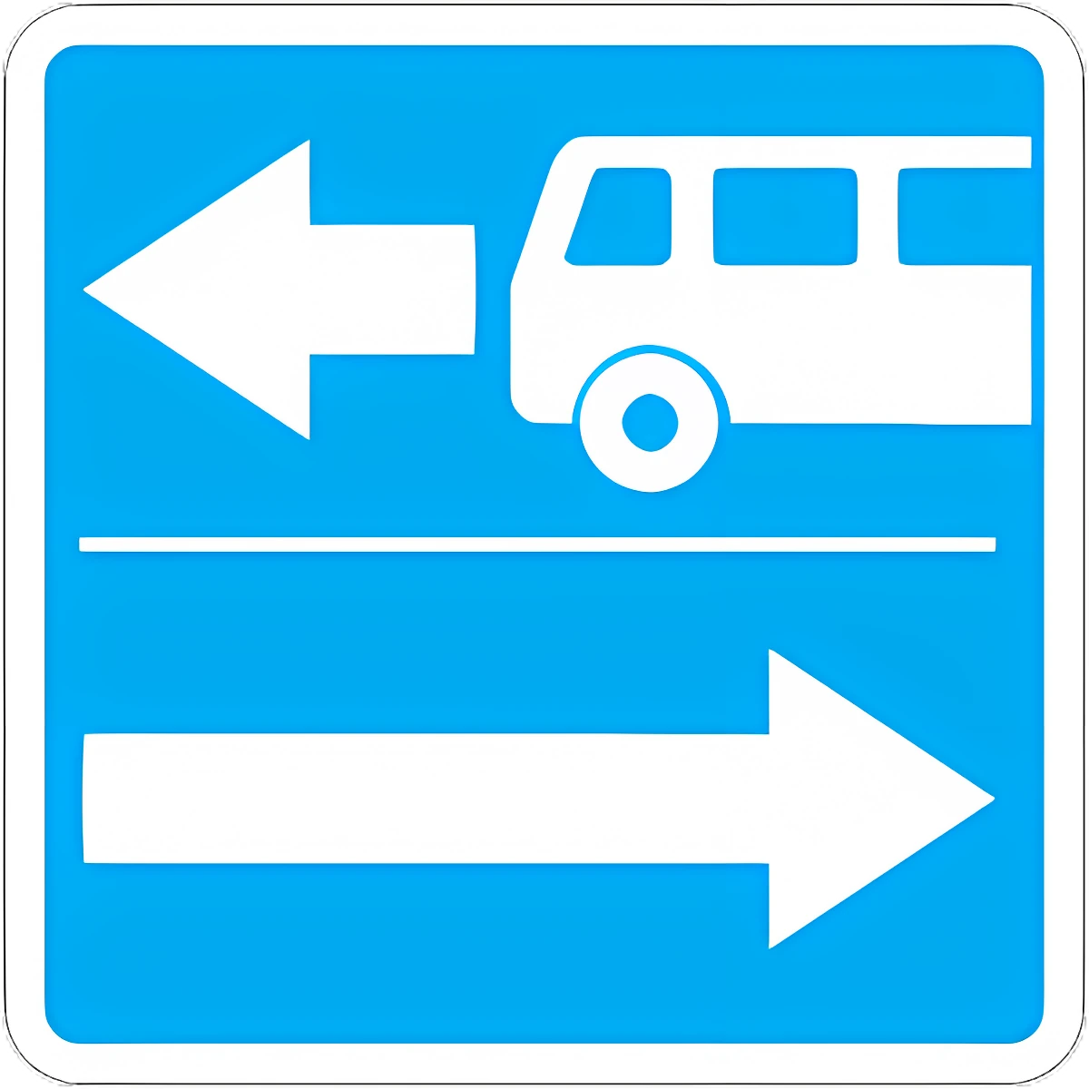
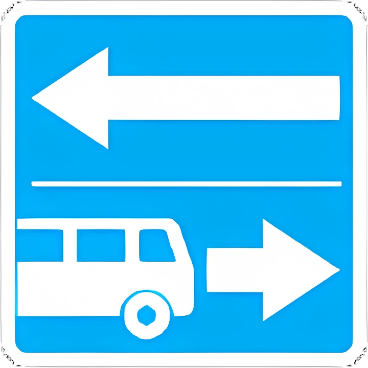
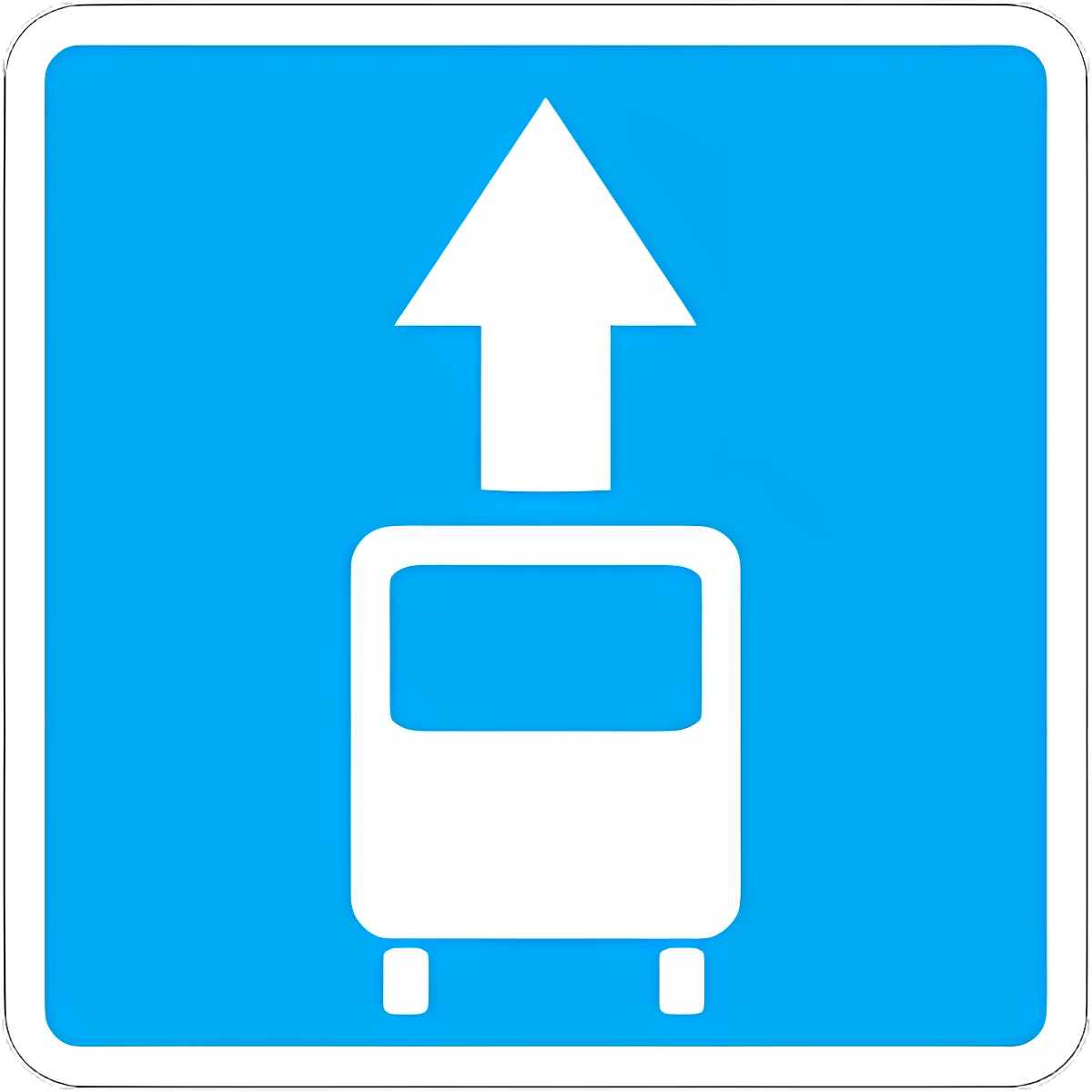
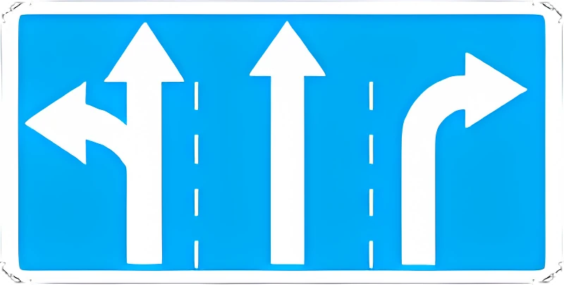
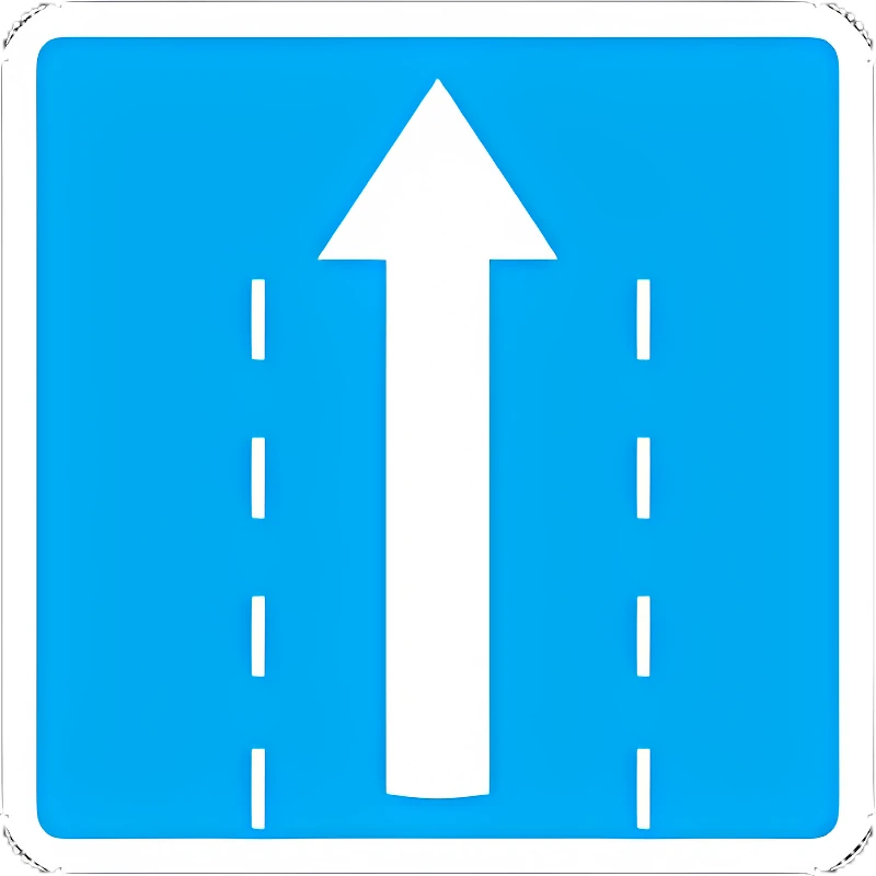
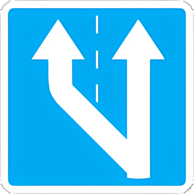
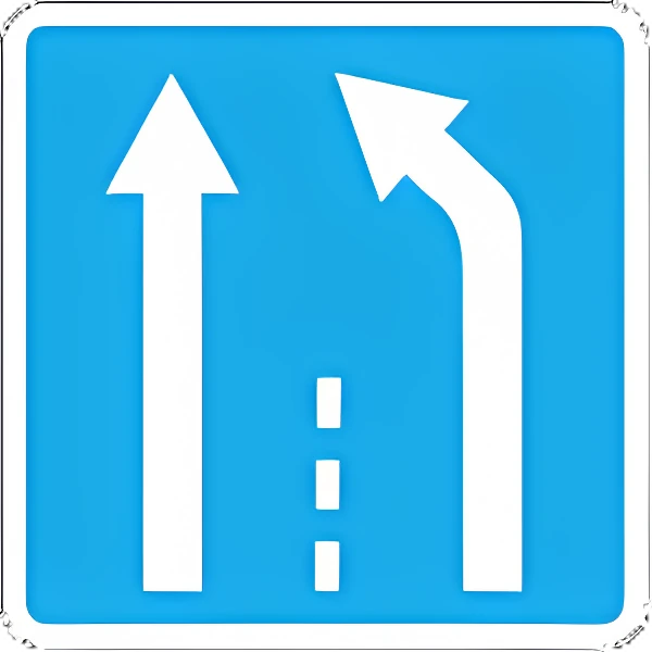
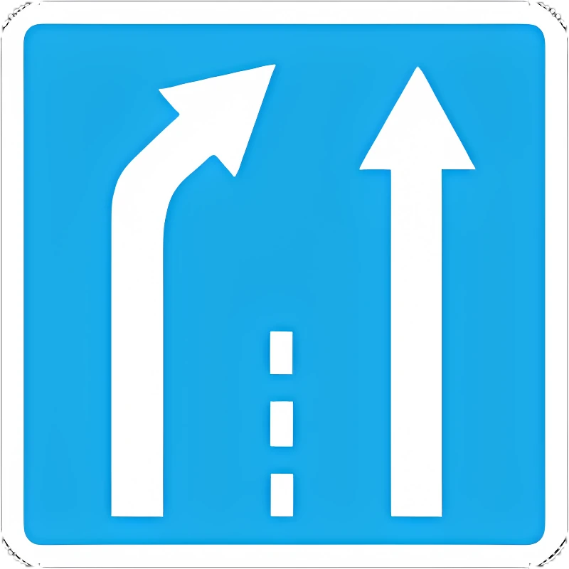
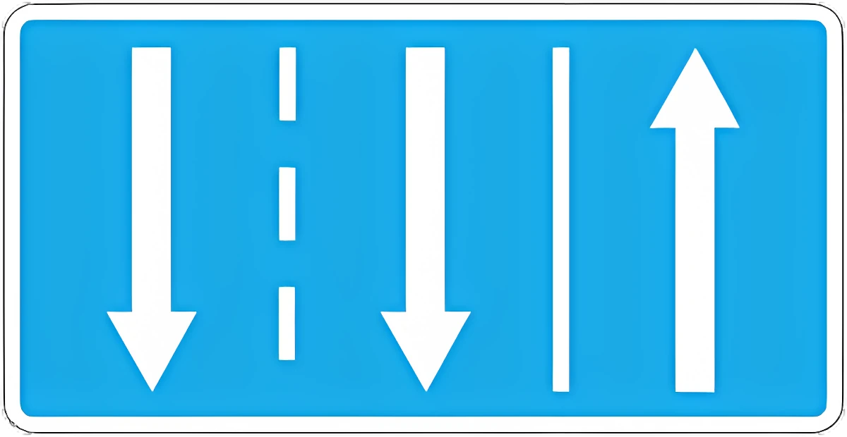
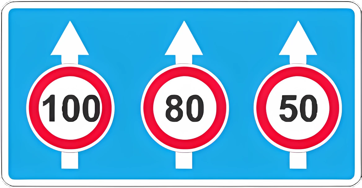
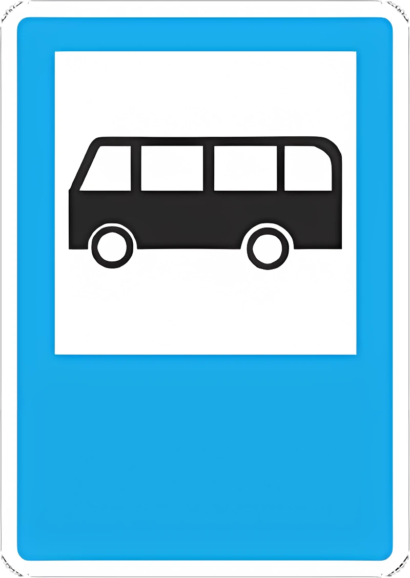
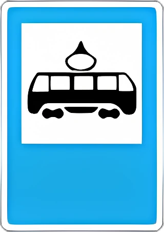
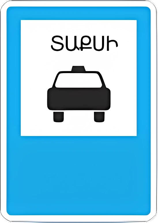
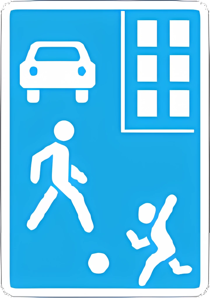
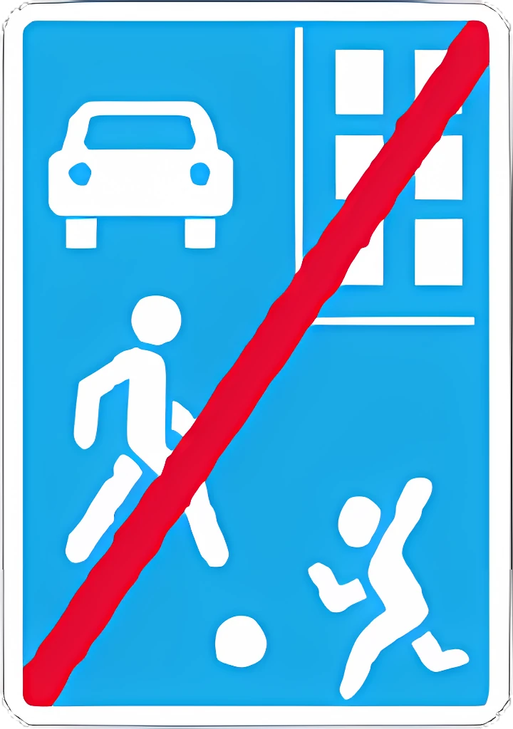
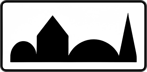
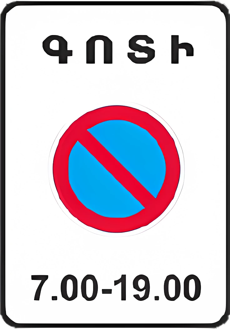
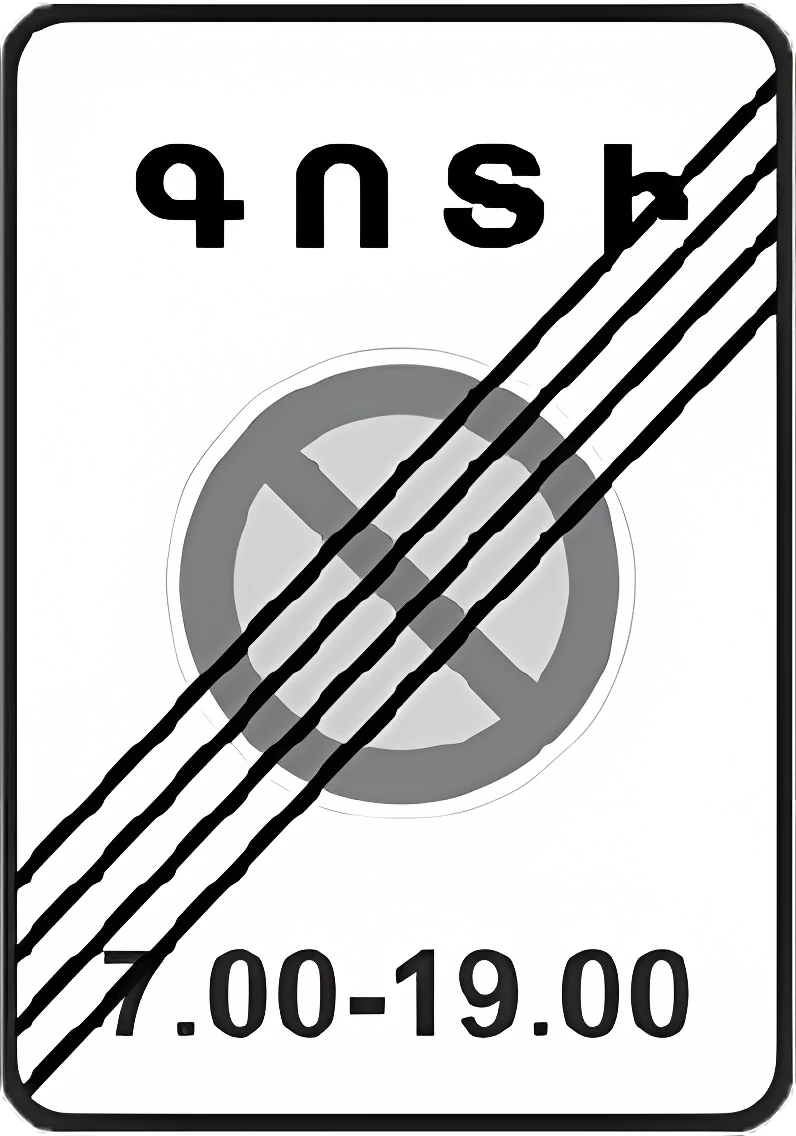
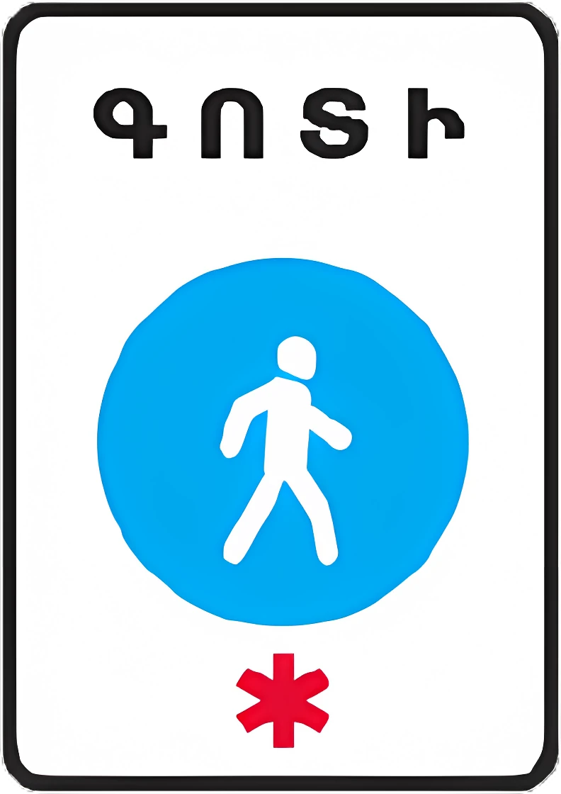
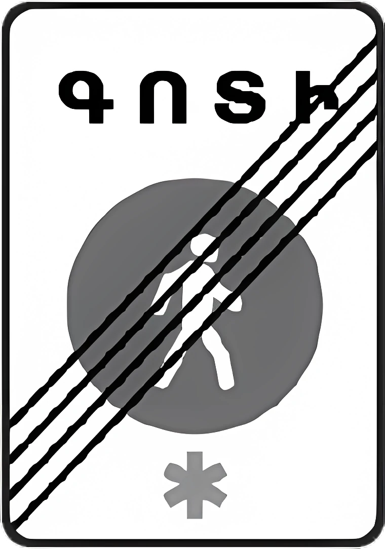
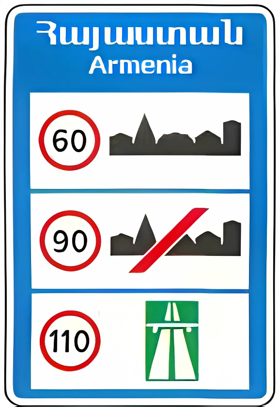
5.1 Motorway: a road subject to motorway traffic rules.5.15.2 End of motorway.5.25.3 Expressway: a road for cars, buses, and motorcycles only.5.35.4 End of expressway.5.45.5 One-way road.5.55.6 End of one-way road.5.65.7.1 Entrance to a one-way road.5.7.15.7.2 Entrance to a one-way road.5.7.25.8 Reversible lanes: start of a section where lane direction can be reversed.5.85.9 End of reversible lanes.5.95.10 Entrance to a road with reversible lanes.5.105.11 Road with a contraflow lane for route vehicles (buses/trolleybuses/trams).5.115.12 End of road with a contraflow lane for route vehicles.5.125.13.1 Entrance to a road with a lane for route vehicles.5.13.15.13.2 Entrance to a road with a lane for route vehicles.5.13.25.14 Lane for route vehicles (buses/trolleybuses/trams), same direction as general traffic.5.145.15.1 Lane directions: the number of lanes and the permitted direction of travel for each.5.15.15.15.2 Lane directions: the permitted direction of travel for a lane, including left turns and U-turns from the leftmost lane; does not apply to route vehicles.5.15.25.15.3 Start of an additional climbing or deceleration lane; drivers unable to keep pace must merge right.5.15.35.15.4 Start of the middle lane's section on a three-lane road allocated for travel in this direction.5.15.45.15.5 End of an additional climbing or acceleration lane.5.15.55.15.6 End of the middle lane's section on a three-lane road allocated for travel in this direction.5.15.65.15.7 Lane direction, used with the appropriate number of arrows on roads with four or more lanes.5.15.75.15.8 Number of lanes and traffic regime for each; drivers must follow the symbols on the arrows.5.15.85.16 Bus and/or trolleybus stop.5.165.17 Tram stop.5.175.18 Taxi stand.5.185.19.1 Pedestrian crossing (placed on the right, at the near edge relative to approaching traffic).5.19.15.19.2 Pedestrian crossing (placed on the left, at the far edge relative to approaching traffic).5.19.25.20 Speed bump: marks its near edge relative to approaching vehicles.5.205.21 Residential zone, governed by residential-zone traffic rules.5.215.22 End of residential zone.5.225.23.1 Start of a built-up area (built-up-area traffic rules apply).5.23.15.23.2 Start of a built-up area (built-up-area traffic rules apply).5.23.25.24.1 End of a built-up area (built-up-area traffic rules no longer apply).5.24.15.24.2 End of a built-up area (built-up-area traffic rules no longer apply).5.24.25.25 Start of a built-up area where built-up-area traffic rules do NOT apply on this road.5.255.26 End of the built-up area marked by sign 5.25.5.265.27 Start of a restricted-parking zone.5.275.28 End of restricted-parking zone.5.285.29 Start of a regulated-parking zone (parking allowed, regulated by plates/markings).5.295.30 End of regulated-parking zone.5.305.31 Start of a speed-limit zone.5.315.32 End of speed-limit zone.5.325.33 Start of a pedestrian zone.5.335.34 End of pedestrian zone.5.34

Informational signs

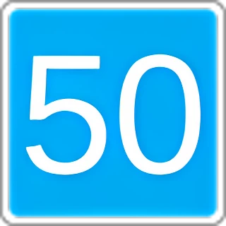
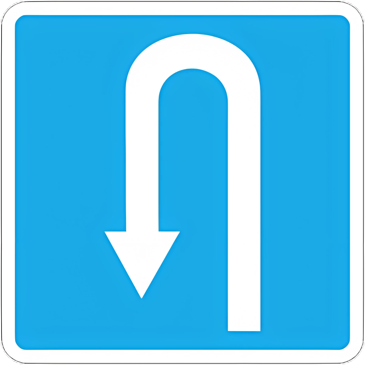
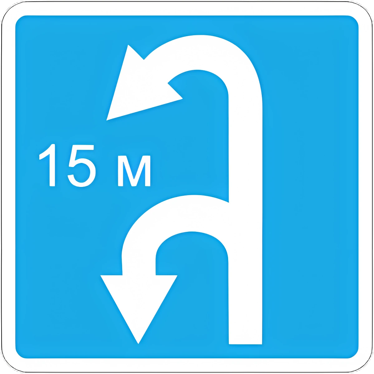
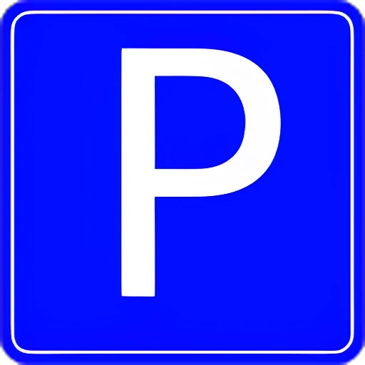
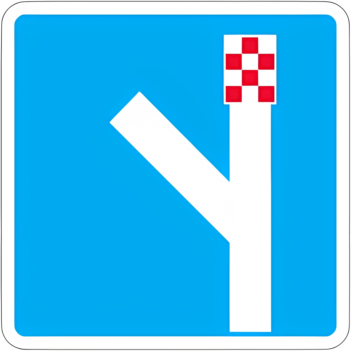
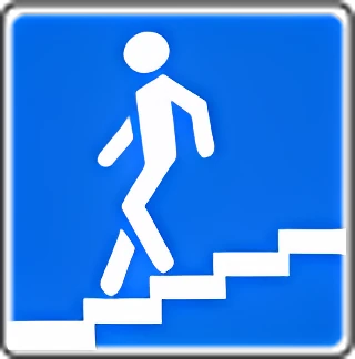
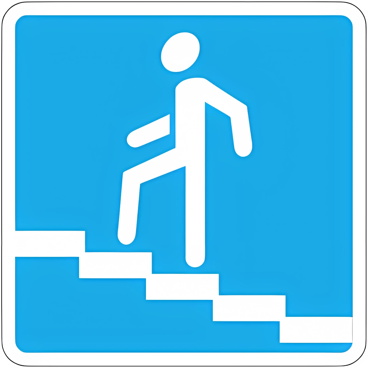
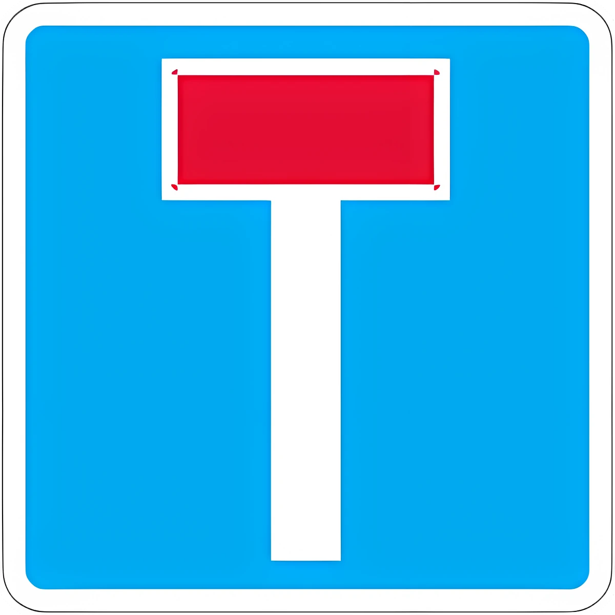
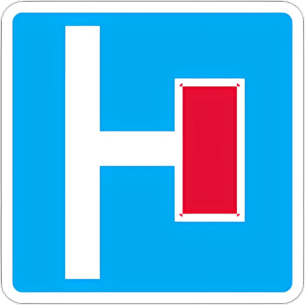
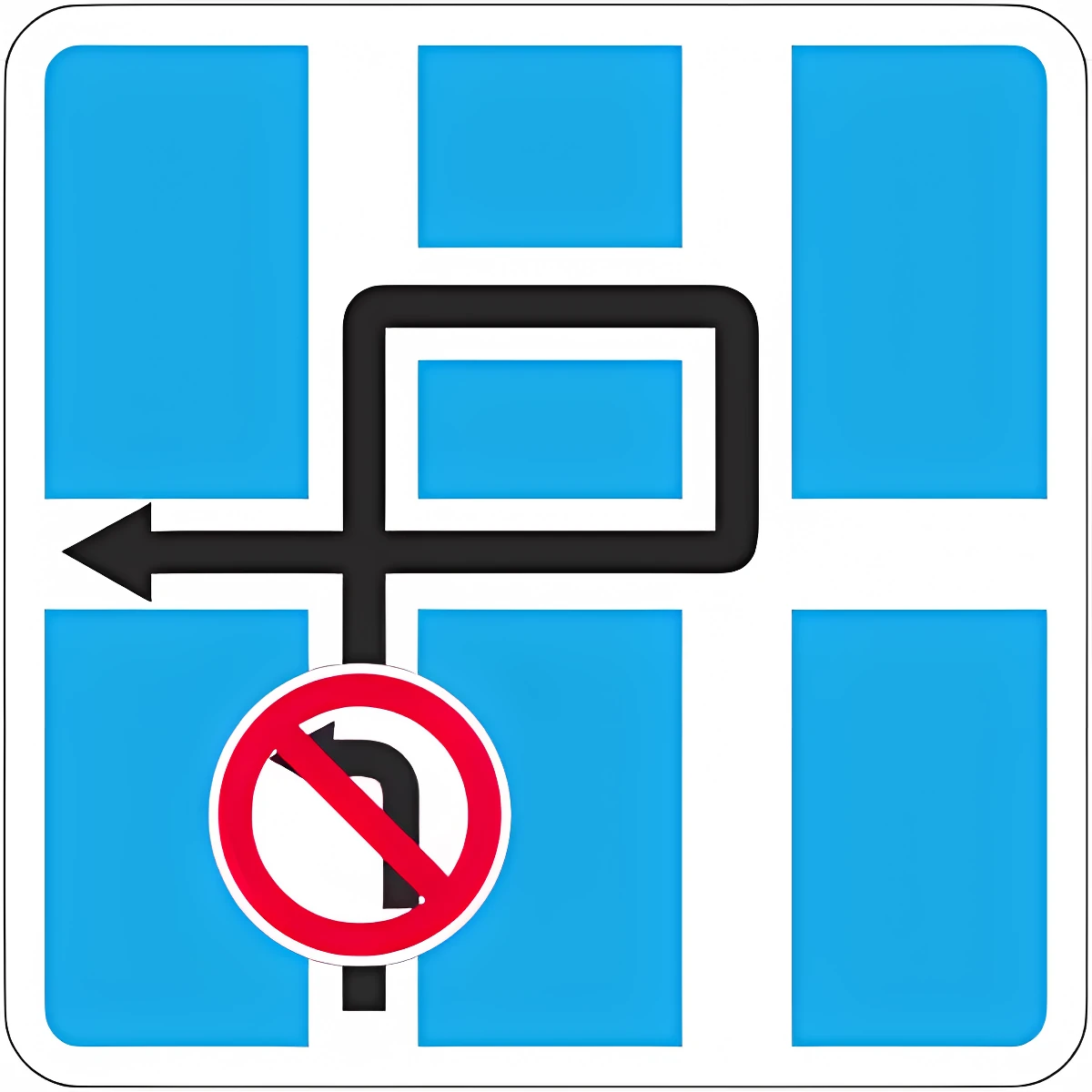
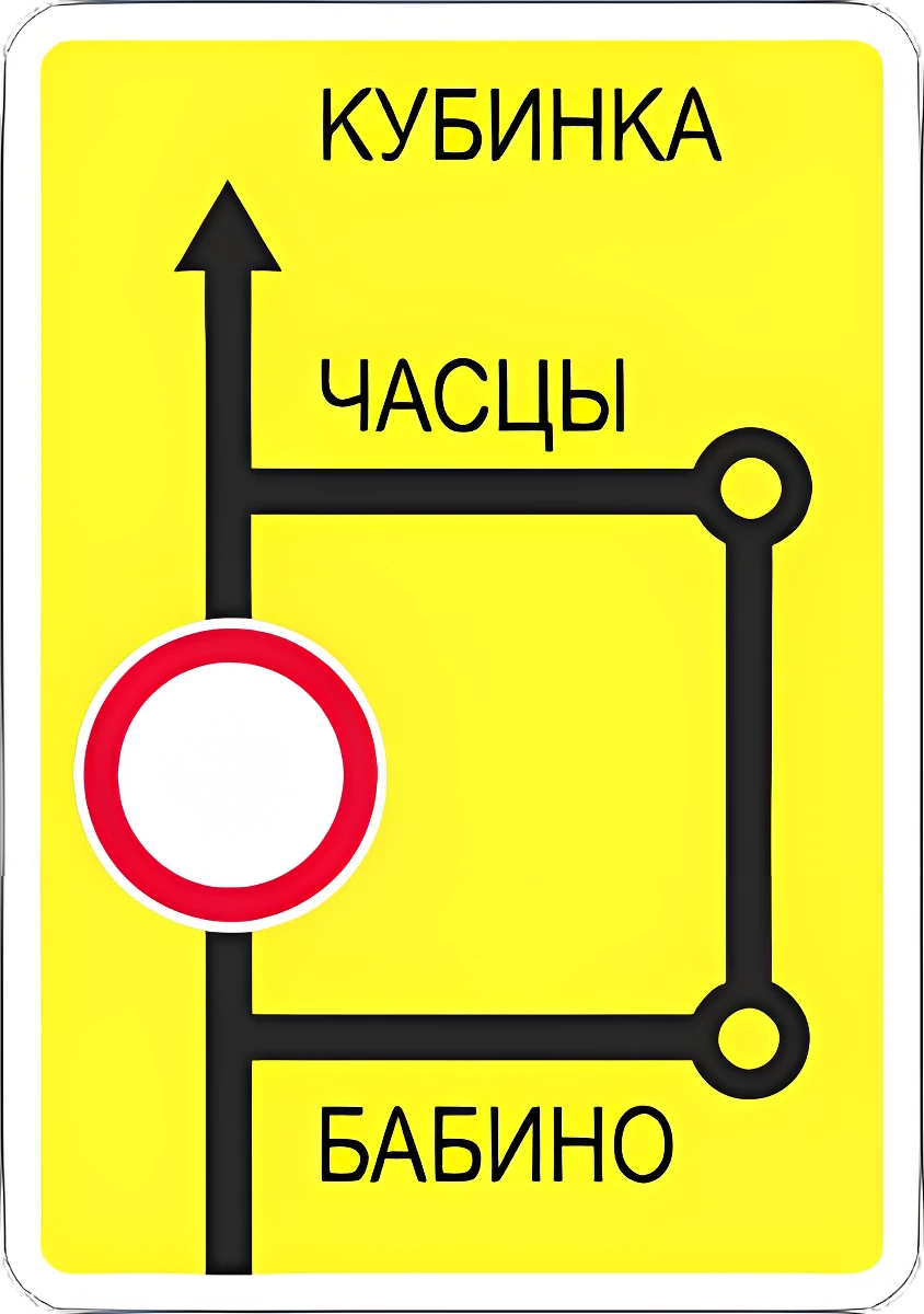
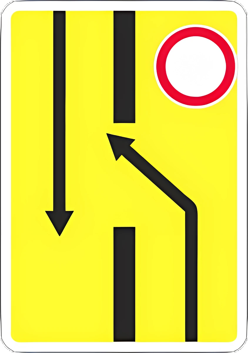
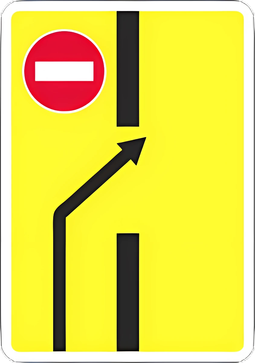
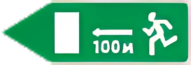
6.1 General maximum speed limit.6.16.2 Recommended speed for this section of road.6.26.3.1 U-turn area (left turn prohibited).6.3.16.3.2 U-turn zone (left turn prohibited).6.3.26.4 Parking (parking area).6.46.5 Emergency stopping lane.6.56.6 Underground pedestrian crossing.6.66.7 Pedestrian overpass.6.76.8.1 Dead end: a road with no through passage.6.8.16.8.2 Dead end: a road with no through passage.6.8.26.8.3 Dead end: a road with no through passage.6.8.36.9.1 Advance direction sign: directions to the towns/destinations shown, with route-number, motorway, airport, or other pictograms; also used to mark a detour around a restricted road section.6.9.16.9.2 Advance direction sign: directions to the towns/destinations shown, with route-number, motorway, airport, or other pictograms; also used to mark a detour around a restricted road section.6.9.26.9.3 Traffic diagram: permitted directions at a complex intersection, or the route when certain maneuvers there are prohibited.6.9.36.10.1 Direction sign: directions to points along a route, with distances and pictograms.6.10.16.10.2 Direction sign: directions to points along a route, with distances and pictograms.6.10.26.11 Place name: names a landmark other than a built-up area (river, lake, mountain pass, etc.).6.116.12 Distance sign: distance (km) to towns along the route.6.126.13 Kilometer post: distance (km) to the start or end of the road.6.136.14.1 Route number (6.14.1 number only, 6.14.2 number and direction).6.14.16.14.2 Route number (6.14.1 number only, 6.14.2 number and direction).6.14.26.15.1 Recommended direction for trucks, tractors, and self-propelled machines when a direction at the intersection is closed to them.6.15.16.15.2 Recommended direction for trucks, tractors, and self-propelled machines when a direction at the intersection is closed to them.6.15.26.15.3 Recommended direction for trucks, tractors, and self-propelled machines when a direction at the intersection is closed to them.6.15.36.16 Stop line: where vehicles must stop at a red light or a controller's stop signal.6.166.17 Detour diagram around a section of road temporarily closed to traffic.6.176.18.1 Detour direction around a section of road temporarily closed to traffic.6.18.16.18.2 Detour direction around a section of road temporarily closed to traffic.6.18.26.18.3 Detour direction around a section of road temporarily closed to traffic.6.18.36.19.1 Advance lane-change sign: detour around a closed carriageway section on a divided road, or the way back to the right-hand carriageway.6.19.16.19.2 Advance lane-change sign: detour around a closed carriageway section on a divided road, or the way back to the right-hand carriageway.6.19.26.20.1 Emergency exit location in a tunnel.6.20.16.20.2 Emergency exit location in a tunnel.6.20.26.21.1 Direction and distance to an emergency exit.6.21.1

Service signs

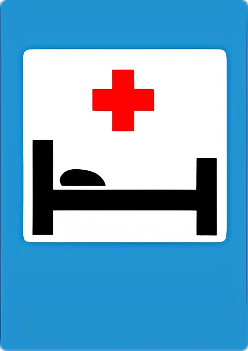
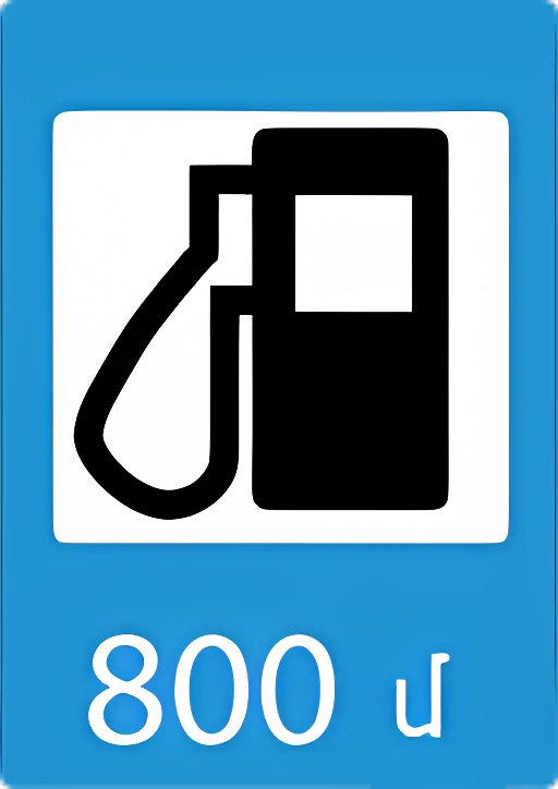
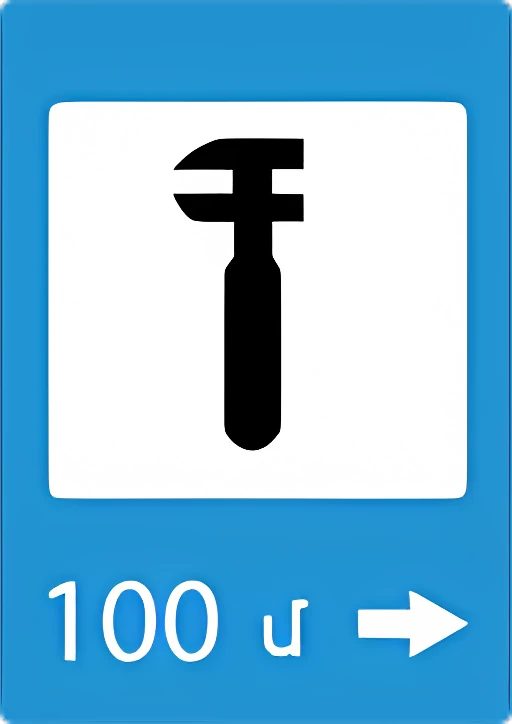
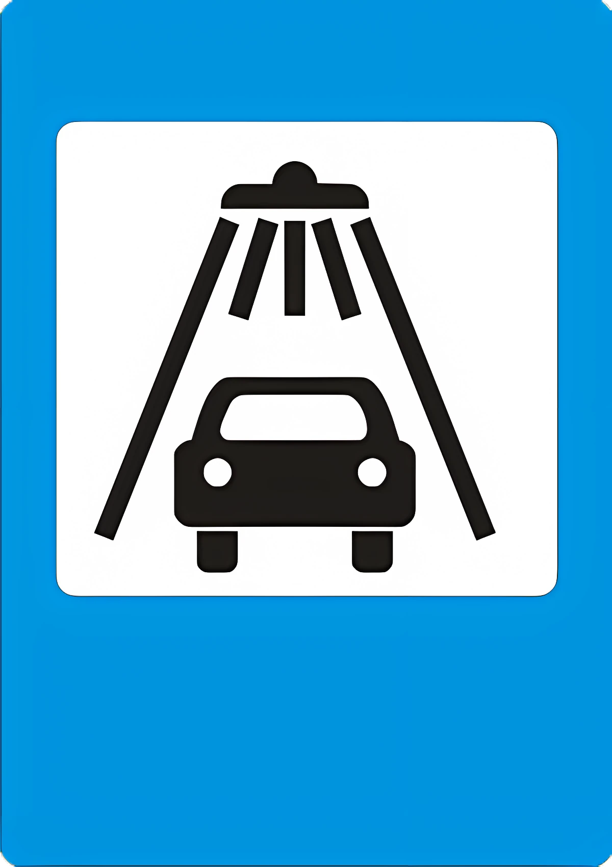
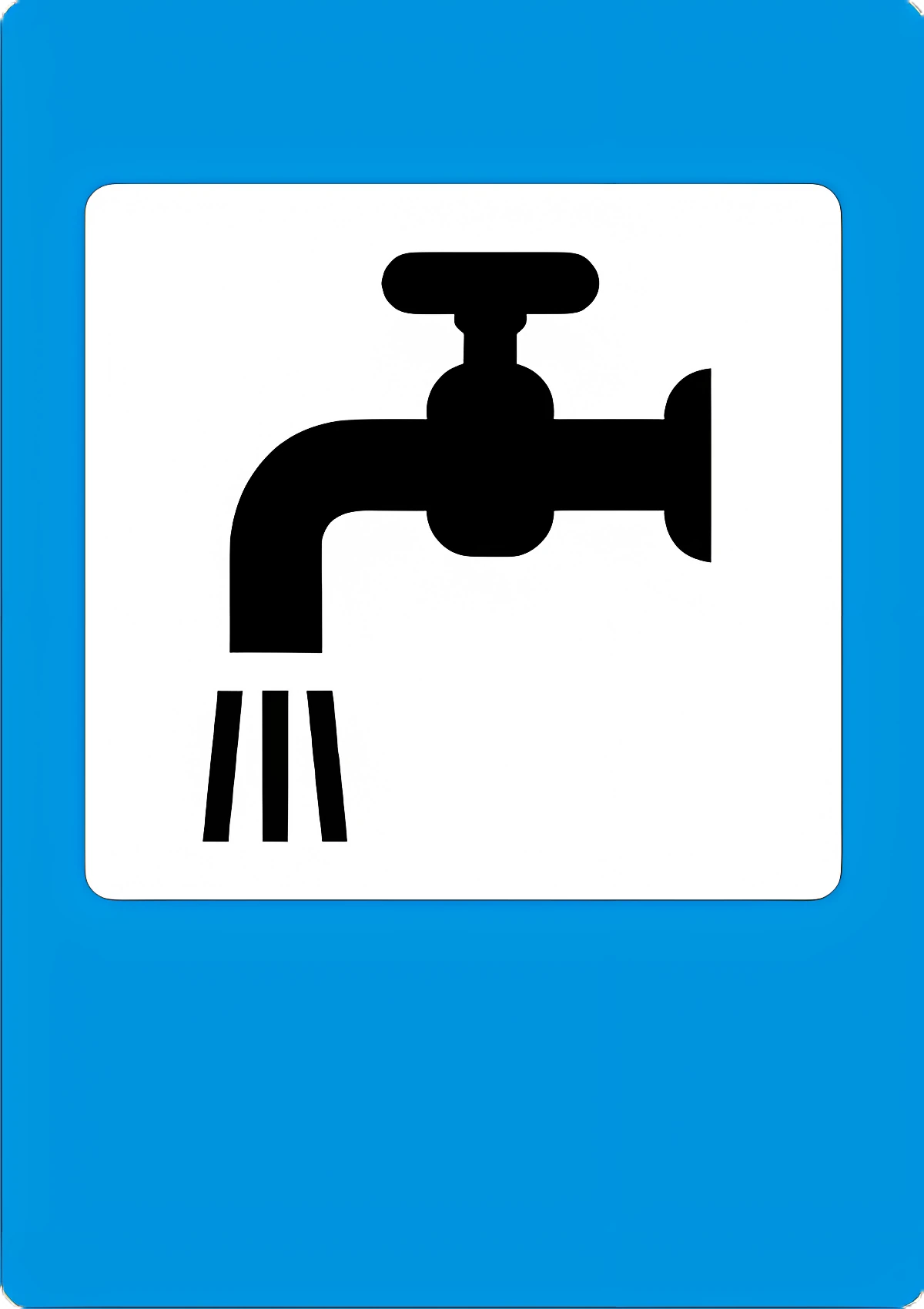
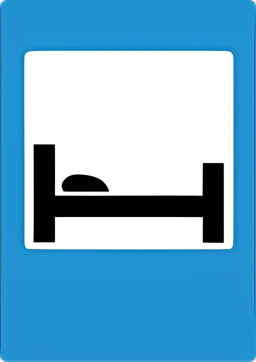
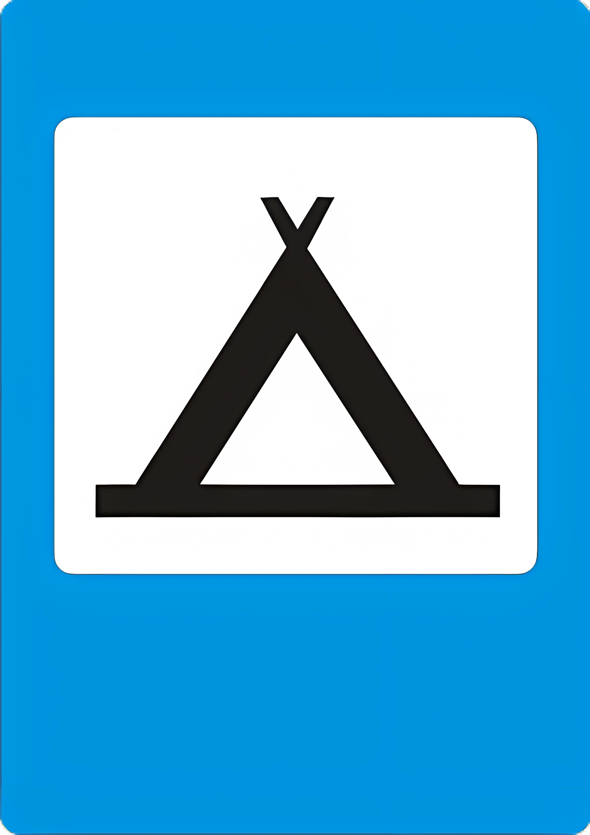
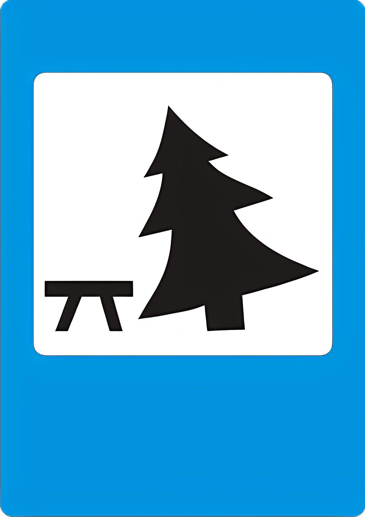
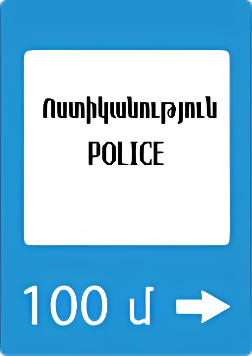
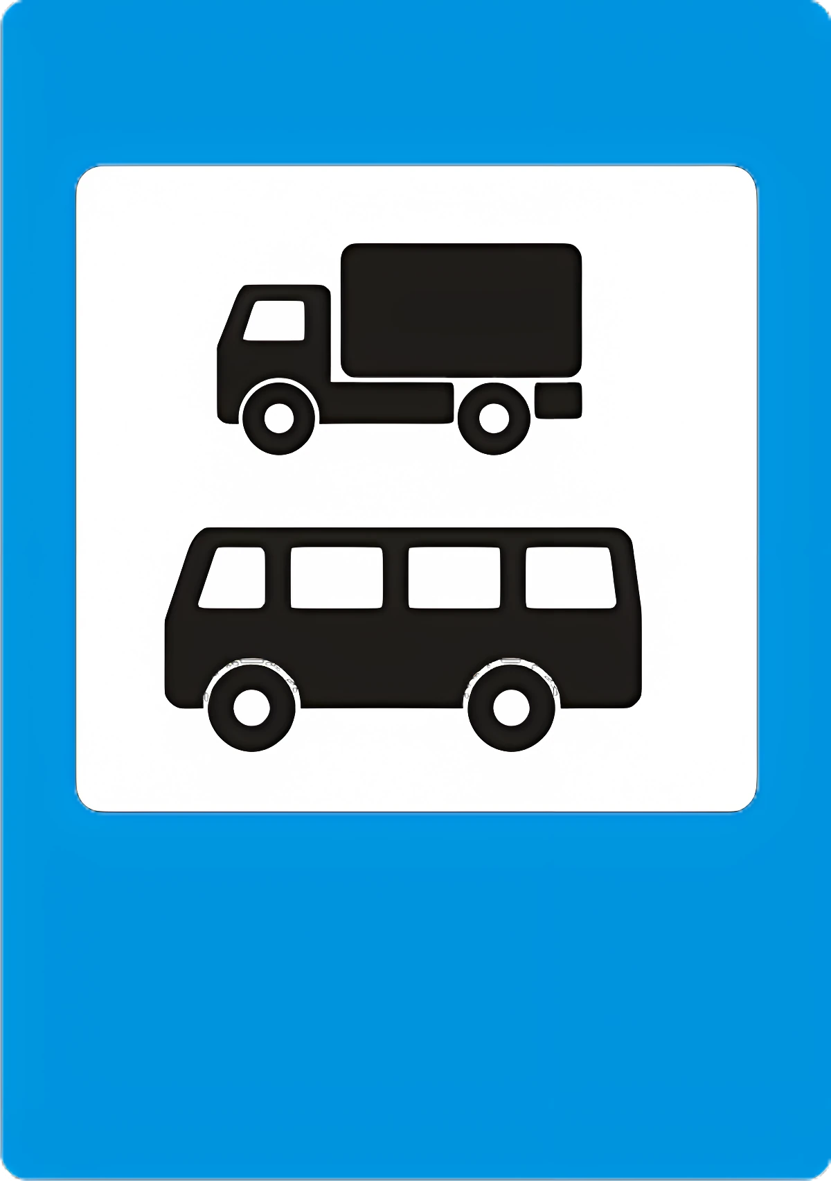
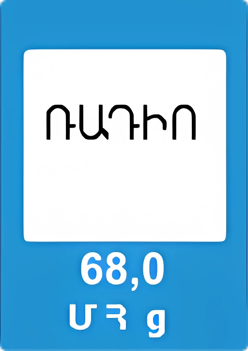
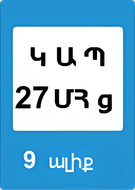
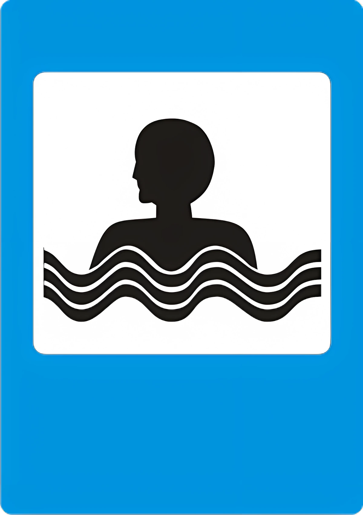
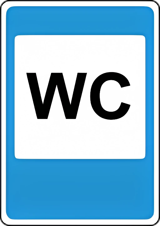
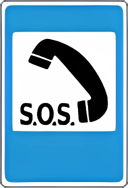
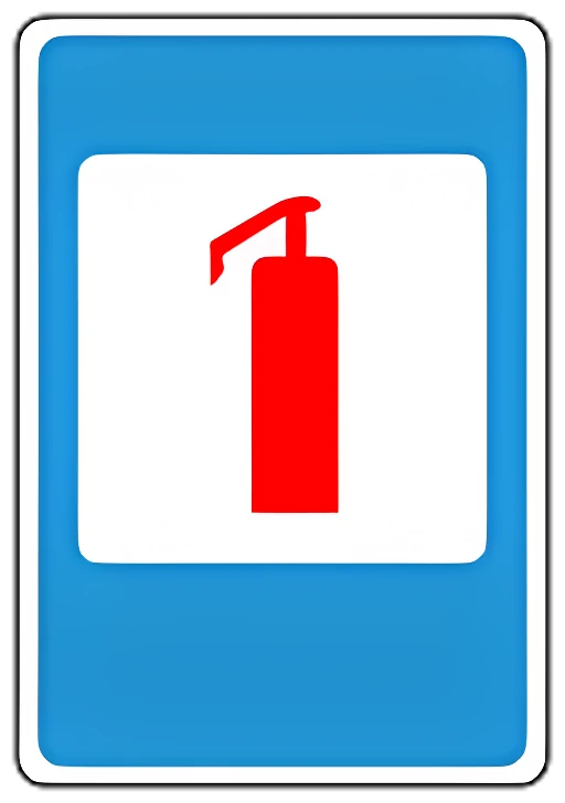
7.1 First aid station.7.17.2 Hospital.7.27.3 Fuel station.7.37.4 Vehicle maintenance/repair.7.47.5 Car wash.7.57.6 Telephone.7.67.7 Food service.7.77.8 Drinking water.7.87.9 Hotel or motel.7.97.10 Campsite.7.107.11 Rest area.7.117.12 Traffic police post.7.127.13 Police.7.137.14 Vehicle inspection point.7.147.15 Traffic radio reception zone at the frequency shown.7.157.16 Emergency services radio (CB) zone.7.167.17 Swimming pool or beach.7.177.18 Restroom.7.187.19 Emergency telephone for calling emergency services.7.197.20 Fire extinguisher location.7.20

Supplementary plates
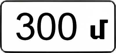
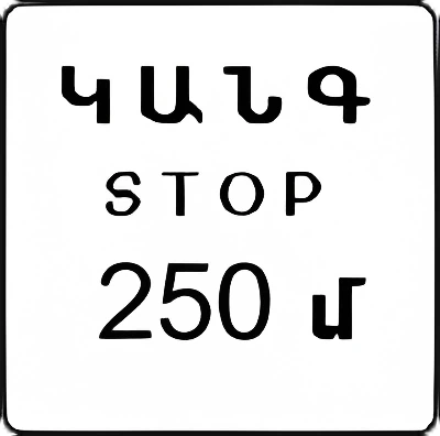
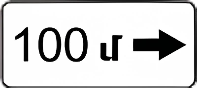
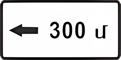
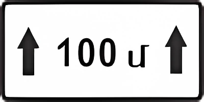
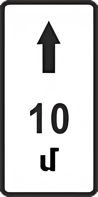
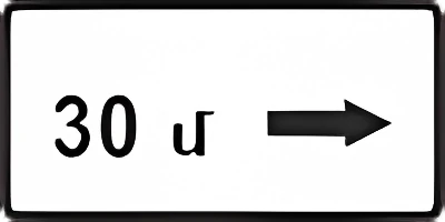
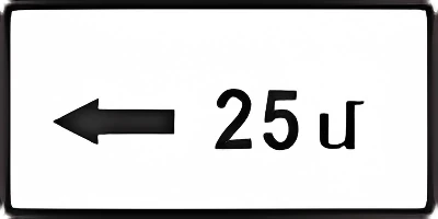
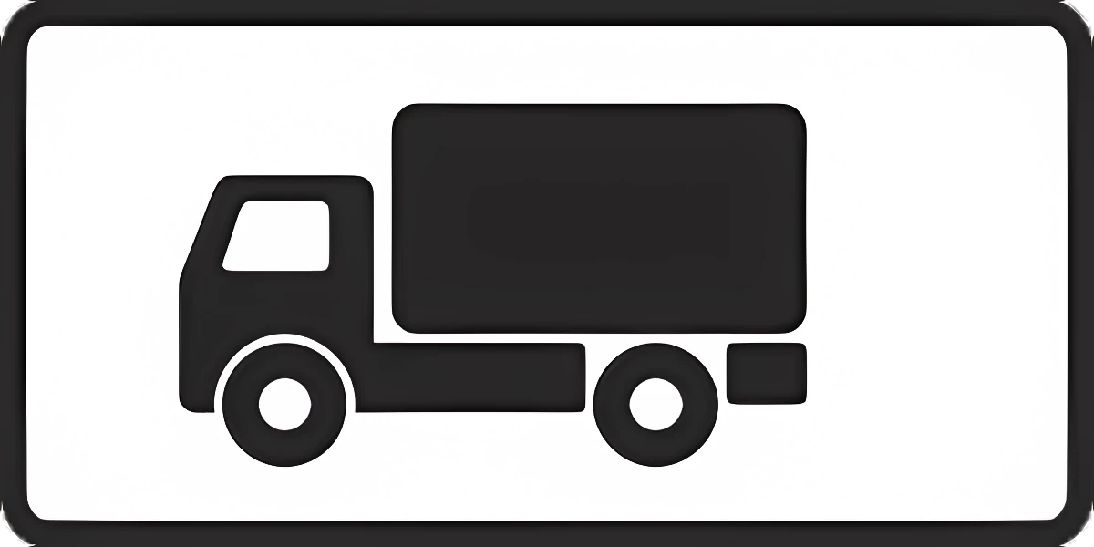
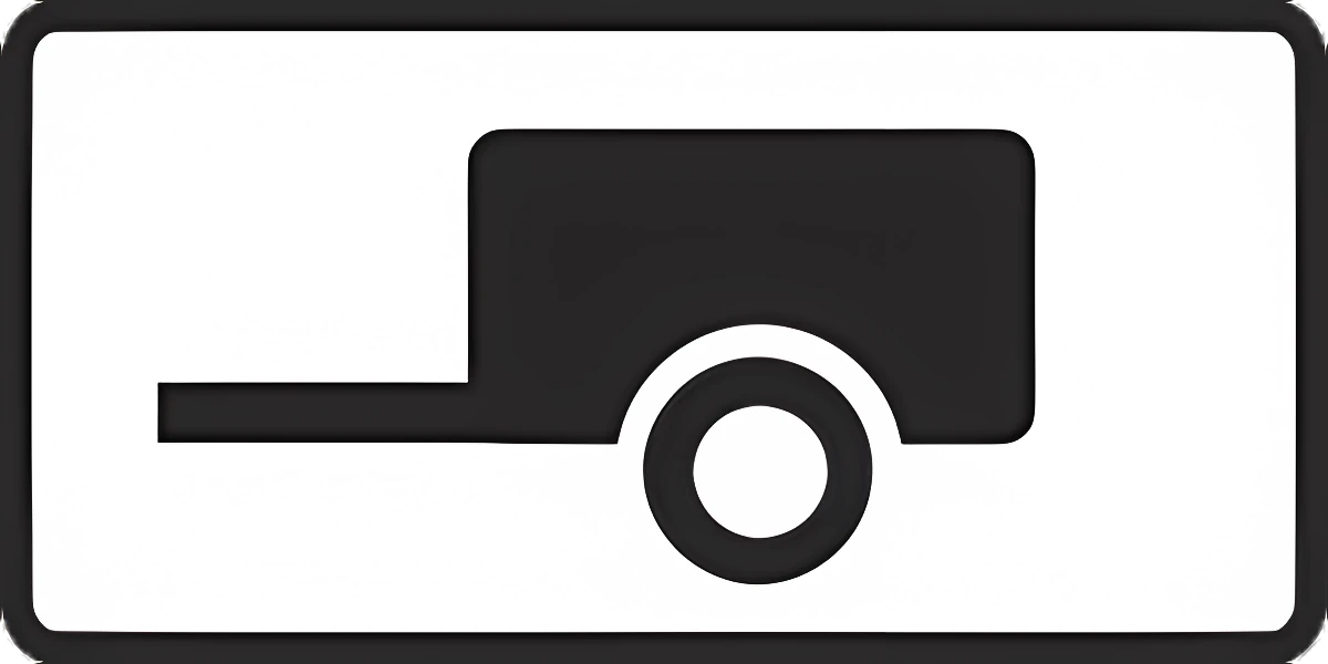
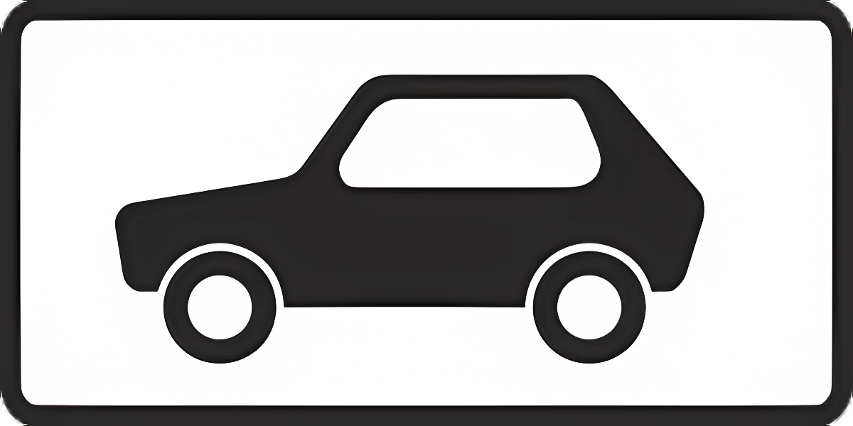
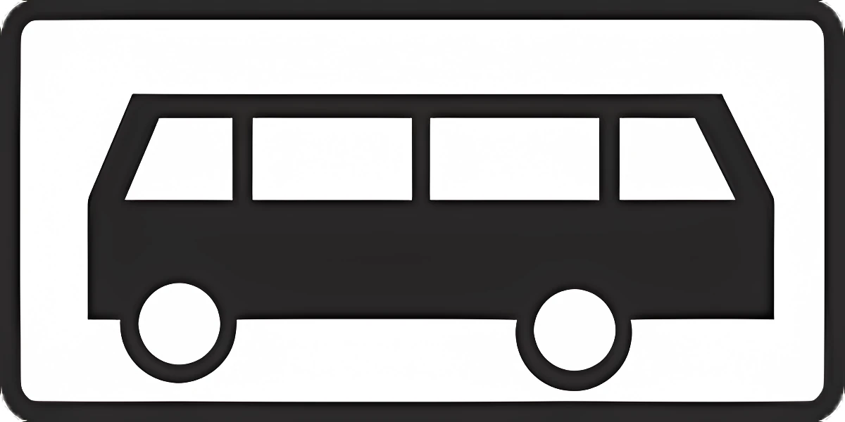
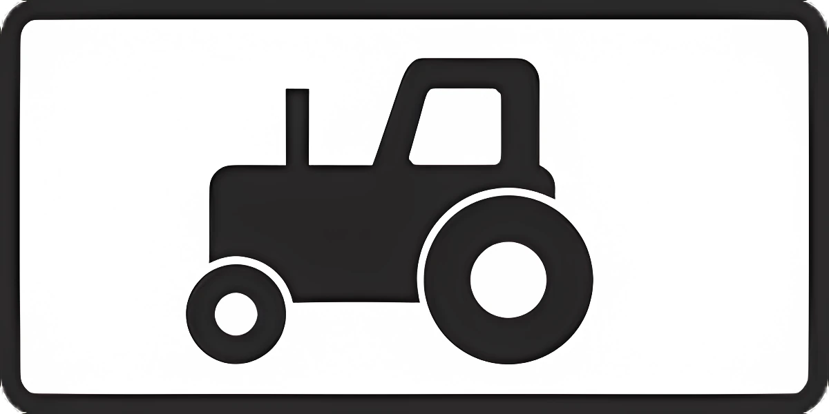
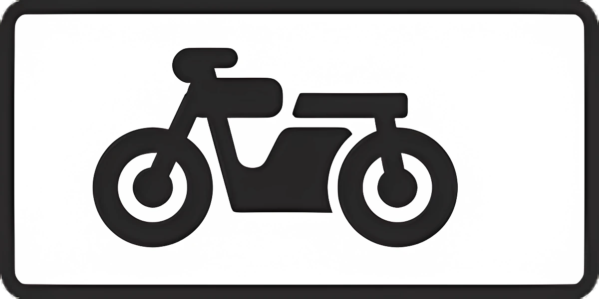
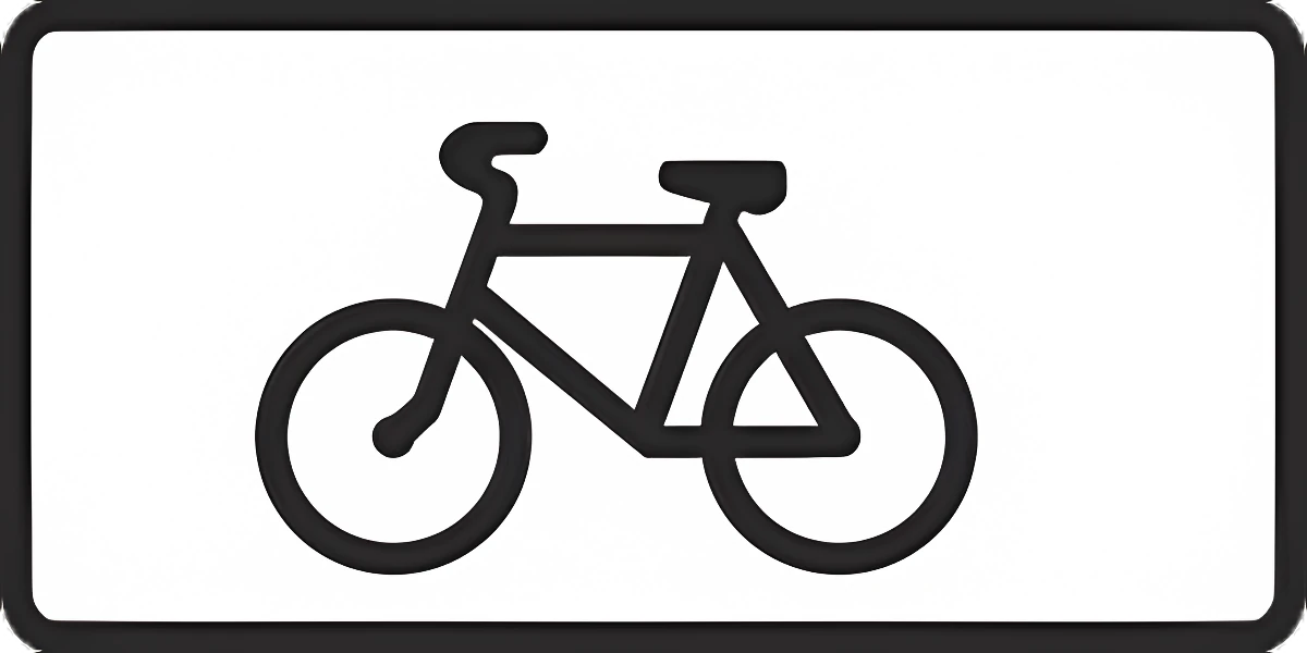
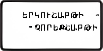
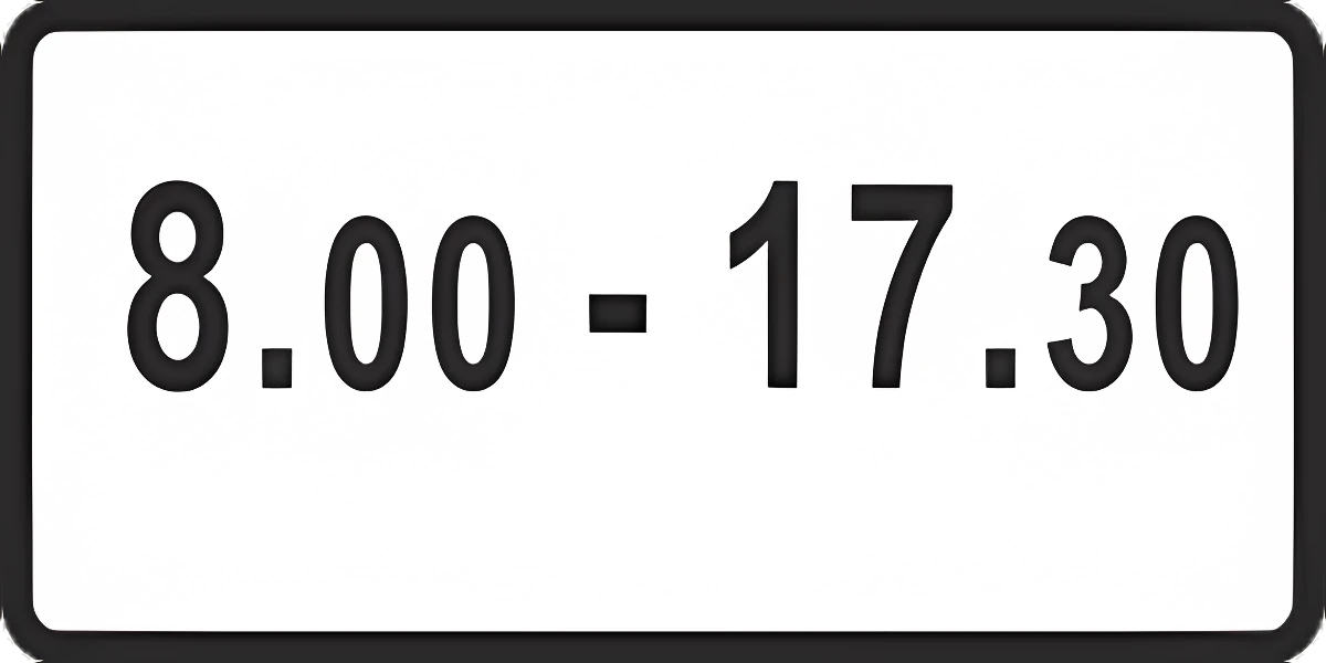
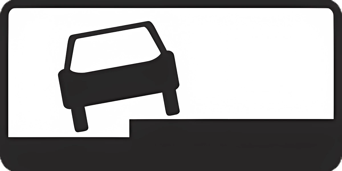
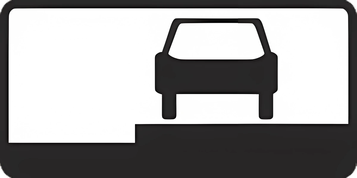
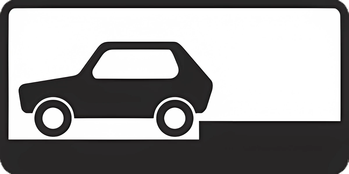
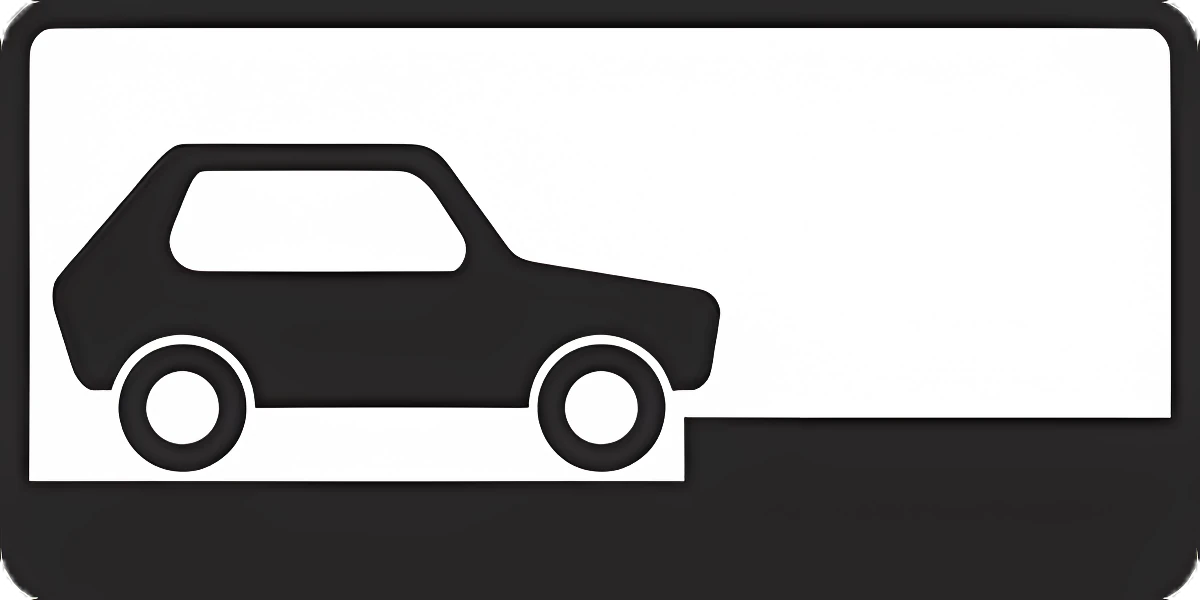
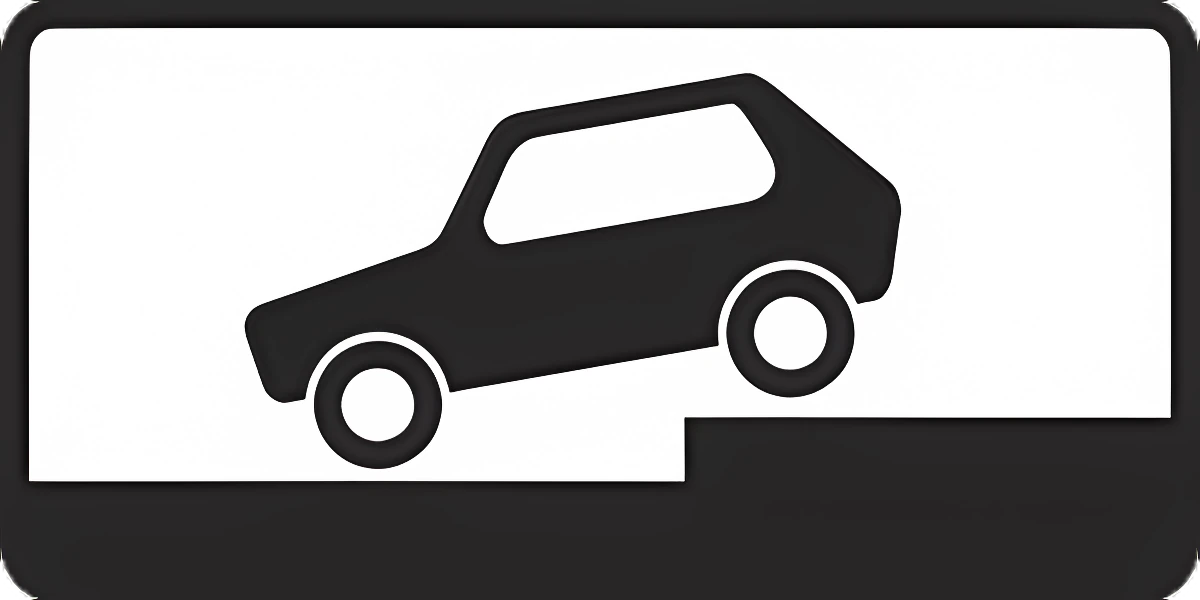
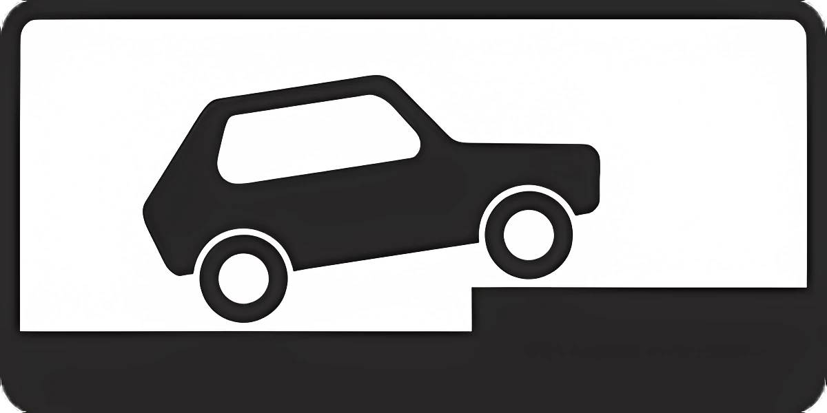
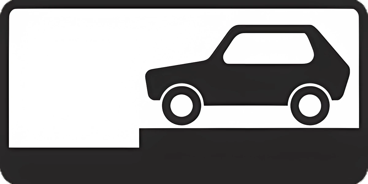
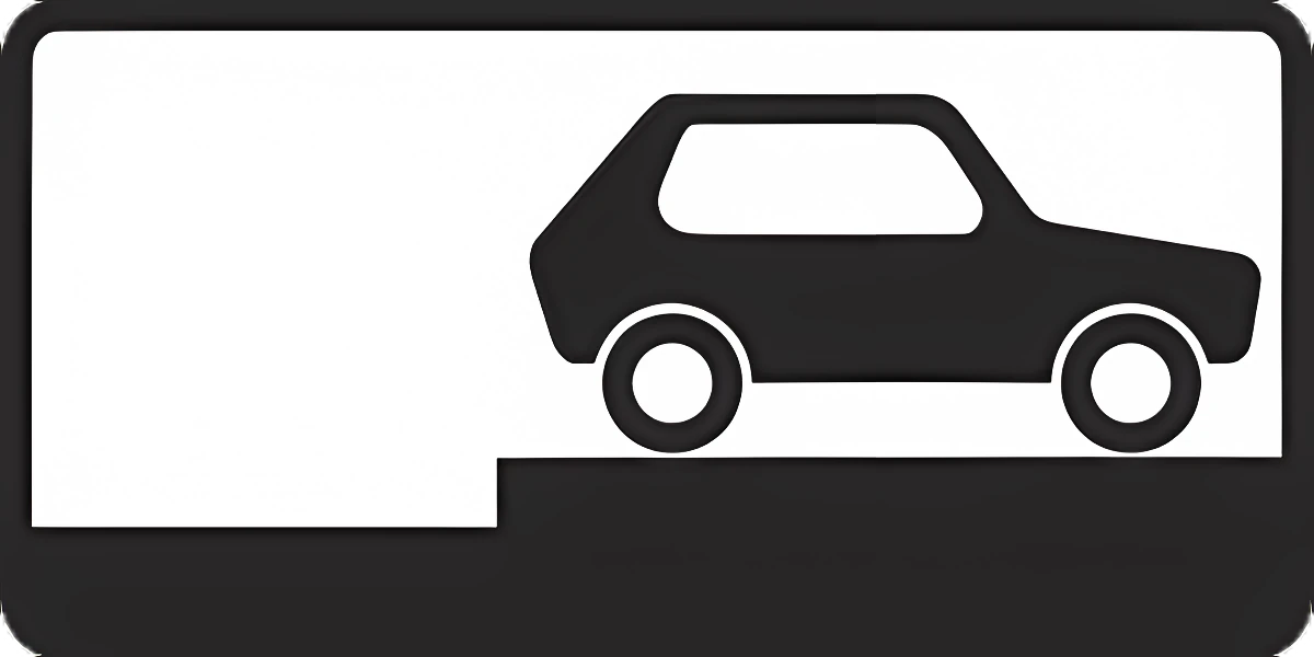
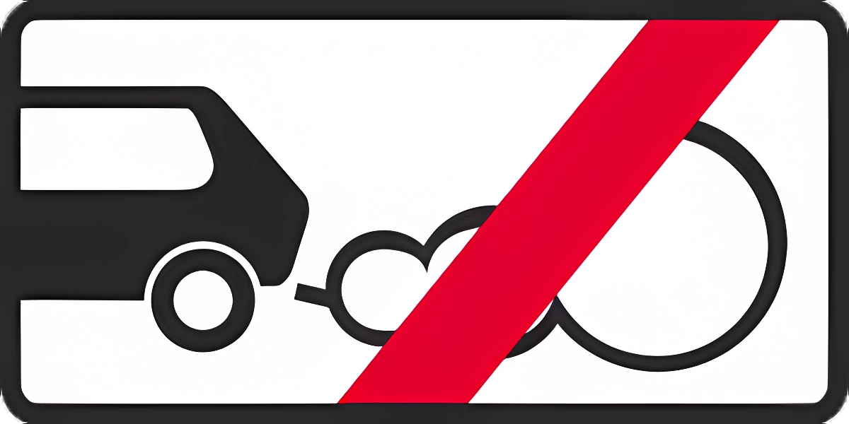
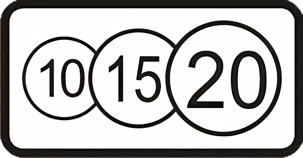
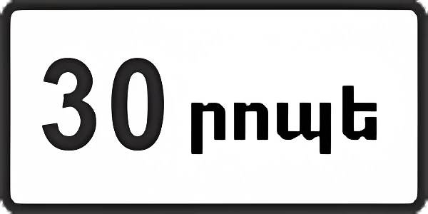
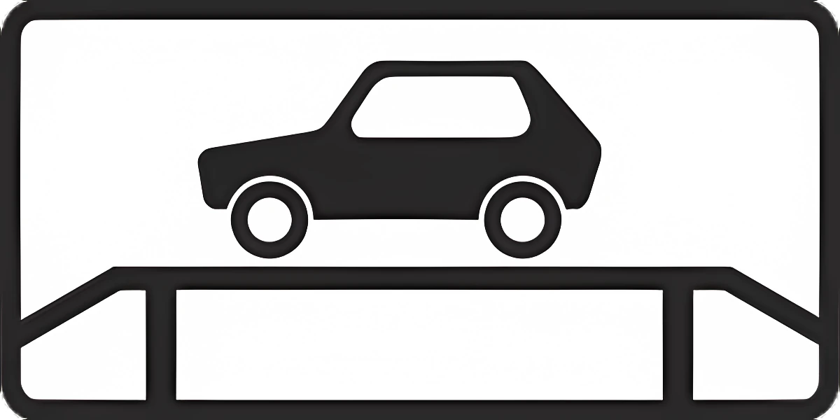
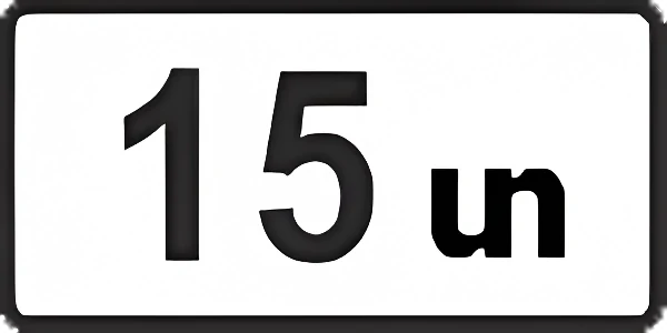
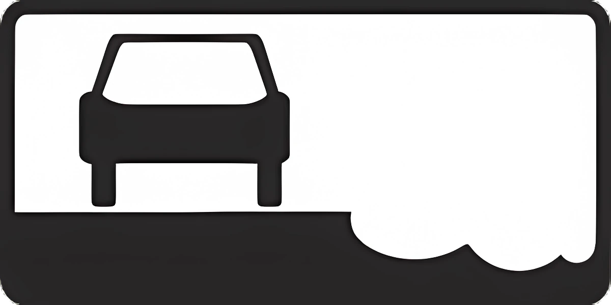
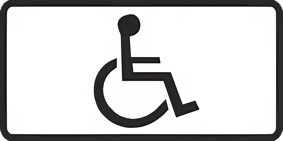
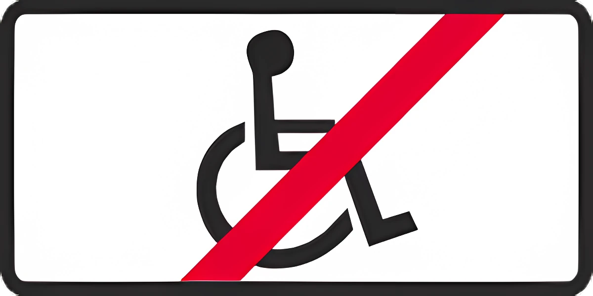
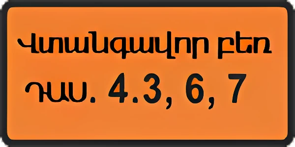
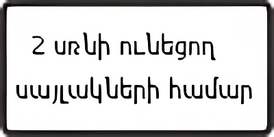
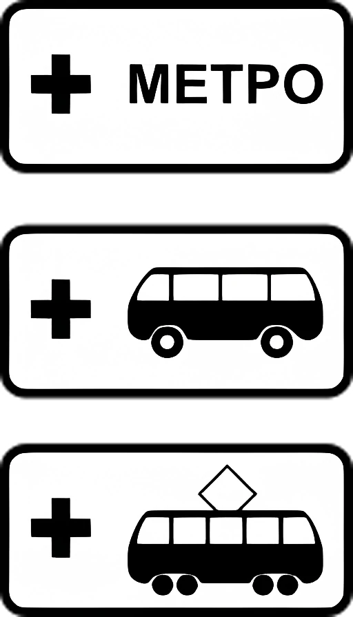
8.1.1 Distance to the start of a hazardous section, a restriction, or an object/place ahead.8.1.18.1.2 Distance from sign 2.4 to the intersection, when sign 2.5 is placed just before it.8.1.28.1.3 Distance to an object located off to the side of the road.8.1.38.1.4 Distance to an object located off to the side of the road.8.1.48.2.1 Zone of effect: length of a hazardous section, or the zone of effect of a prohibitory sign.8.2.18.2.2 Zone of effect for prohibitory signs 3.27–3.30 (start/end/inside/direction), e.g. no stopping or parking along one side of a square or building facade.8.2.28.2.3 Zone of effect for prohibitory signs 3.27–3.30 (start/end/inside/direction), e.g. no stopping or parking along one side of a square or building facade.8.2.38.2.4 Zone of effect for prohibitory signs 3.27–3.30 (start/end/inside/direction), e.g. no stopping or parking along one side of a square or building facade.8.2.48.2.5 Zone of effect for prohibitory signs 3.27–3.30 (start/end/inside/direction), e.g. no stopping or parking along one side of a square or building facade.8.2.58.2.6 Zone of effect for prohibitory signs 3.27–3.30 (start/end/inside/direction), e.g. no stopping or parking along one side of a square or building facade.8.2.68.3.1 Direction in which a sign before an intersection applies, or direction to an object next to the road.8.3.18.3.2 Direction in which a sign before an intersection applies, or direction to an object next to the road.8.3.28.3.3 Direction in which a sign before an intersection applies, or direction to an object next to the road.8.3.38.4.1 Vehicle type the sign applies to (e.g. 8.4.1 trucks over 3.5 t, 8.4.3 passenger cars, 8.4.8 dangerous-goods vehicles).8.4.18.4.2 Vehicle type the sign applies to (e.g. 8.4.1 trucks over 3.5 t, 8.4.3 passenger cars, 8.4.8 dangerous-goods vehicles).8.4.28.4.3 Vehicle type the sign applies to (e.g. 8.4.1 trucks over 3.5 t, 8.4.3 passenger cars, 8.4.8 dangerous-goods vehicles).8.4.38.4.4 Vehicle type the sign applies to (e.g. 8.4.1 trucks over 3.5 t, 8.4.3 passenger cars, 8.4.8 dangerous-goods vehicles).8.4.48.4.5 Vehicle type the sign applies to (e.g. 8.4.1 trucks over 3.5 t, 8.4.3 passenger cars, 8.4.8 dangerous-goods vehicles).8.4.58.4.6 Vehicle type the sign applies to (e.g. 8.4.1 trucks over 3.5 t, 8.4.3 passenger cars, 8.4.8 dangerous-goods vehicles).8.4.68.4.7 Vehicle type the sign applies to (e.g. 8.4.1 trucks over 3.5 t, 8.4.3 passenger cars, 8.4.8 dangerous-goods vehicles).8.4.78.4.8 Vehicle type the sign applies to (e.g. 8.4.1 trucks over 3.5 t, 8.4.3 passenger cars, 8.4.8 dangerous-goods vehicles).8.4.88.5.1 Days of effect: 8.5.1 Saturdays/Sundays/holidays, 8.5.2 working days, 8.5.3 specific weekdays.8.5.18.5.2 Days of effect: 8.5.1 Saturdays/Sundays/holidays, 8.5.2 working days, 8.5.3 specific weekdays.8.5.28.5.3 Days of effect: 8.5.1 Saturdays/Sundays/holidays, 8.5.2 working days, 8.5.3 specific weekdays.8.5.38.5.4 Time of effect: 8.5.4 time of day; 8.5.5–8.5.7 days of the week and time of day.8.5.48.5.5 Time of effect: 8.5.4 time of day; 8.5.5–8.5.7 days of the week and time of day.8.5.58.5.6 Time of effect: 8.5.4 time of day; 8.5.5–8.5.7 days of the week and time of day.8.5.68.5.7 Time of effect: 8.5.4 time of day; 8.5.5–8.5.7 days of the week and time of day.8.5.78.6.1 Parking method: 8.6.1 park on the roadway alongside the curb; 8.6.2–8.6.9 show how to park at curbside (parallel/angled/perpendicular).8.6.18.6.2 Parking method: 8.6.1 park on the roadway alongside the curb; 8.6.2–8.6.9 show how to park at curbside (parallel/angled/perpendicular).8.6.28.6.3 Parking method: 8.6.1 park on the roadway alongside the curb; 8.6.2–8.6.9 show how to park at curbside (parallel/angled/perpendicular).8.6.38.6.4 Parking method: 8.6.1 park on the roadway alongside the curb; 8.6.2–8.6.9 show how to park at curbside (parallel/angled/perpendicular).8.6.48.6.5 Parking method: 8.6.1 park on the roadway alongside the curb; 8.6.2–8.6.9 show how to park at curbside (parallel/angled/perpendicular).8.6.58.6.6 Parking method: 8.6.1 park on the roadway alongside the curb; 8.6.2–8.6.9 show how to park at curbside (parallel/angled/perpendicular).8.6.68.6.7 Parking method: 8.6.1 park on the roadway alongside the curb; 8.6.2–8.6.9 show how to park at curbside (parallel/angled/perpendicular).8.6.78.6.8 Parking method: 8.6.1 park on the roadway alongside the curb; 8.6.2–8.6.9 show how to park at curbside (parallel/angled/perpendicular).8.6.88.6.9 Parking method: 8.6.1 park on the roadway alongside the curb; 8.6.2–8.6.9 show how to park at curbside (parallel/angled/perpendicular).8.6.98.7 Parking allowed only with the engine switched off.8.78.8 Paid services only.8.88.9 Maximum parking duration at this location.8.98.10 Vehicle inspection area with an inspection ramp or pit.8.108.11 Sign applies only to vehicles with a maximum authorized mass over the value shown.8.118.12 Dangerous shoulder: pulling onto the shoulder is dangerous due to repair work (used with sign 1.25).8.128.13 Direction of the priority road at an intersection.8.138.14 Traffic lane (including a bicycle lane) the sign or traffic light applies to.8.148.15 Crossing used by blind pedestrians (used with signs 1.22, 5.19.1, 5.19.2, and traffic lights).8.158.16 Sign applies only while the road surface is wet.8.168.17 Sign 6.4 applies only to invalid carriages and vehicles displaying a "Disabled" sign.8.178.18 Sign does not apply to invalid carriages and vehicles displaying a "Disabled" sign.8.188.19 Class number(s) of dangerous goods.8.198.20.1 Vehicle axle configuration (used with sign 3.12): number of closely spaced axles, each subject to the mass shown.8.20.18.20.2 Vehicle axle configuration (used with sign 3.12): number of closely spaced axles, each subject to the mass shown.8.20.28.21.1 Type of route vehicle (used with sign 6.4): marks parking near a metro station or bus/trolleybus/tram stop for transfers.8.21.18.22.1 Obstacle and the direction to bypass it (used with signs 4.2.1–4.2.3).8.22.18.22.2 Obstacle and the direction to bypass it (used with signs 4.2.1–4.2.3).8.22.28.22.3 Obstacle and the direction to bypass it (used with signs 4.2.1–4.2.3).8.22.3

Vehicle identification signs
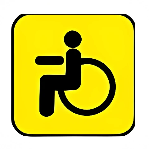
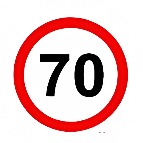
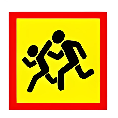
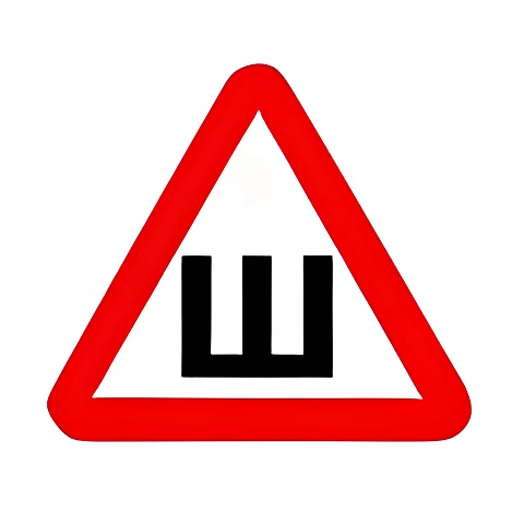
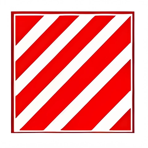
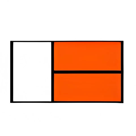
tsr-9.1 Road train (truck with trailer).tsr-9.1tsr-9.2 Speed limit.tsr-9.2tsr-9.3 Slow-moving vehicle.tsr-9.3tsr-9.4 Transporting children.tsr-9.4tsr-9.5 Studded tires.tsr-9.5tsr-9.6 Long vehicle.tsr-9.6tsr-9.7 Deaf driver.tsr-9.7tsr-9.8 Oversized vehicle.tsr-9.8tsr-9.10 Dangerous cargo.tsr-9.10tsr-9.11 Student driver vehicle.tsr-9.11tsr-9.12 Doctor.tsr-9.12tsr-9.13 Disabled driver.tsr-9.13

Take this test in the app

In Varordakan Tester the same tests are taken without hints, wrong answers are collected automatically, and there is an exam simulation (20 questions, 30 minutes, pass at 18), a 3D intersection simulator, video lessons and an AI assistant that cites the Traffic Rules point. Free.

Sources: questions from the official bank of the Road Police of Armenia (roadpolice.am, edition of 2 October 2026); rule points from the Traffic Rules of the Republic of Armenia (arlis.am). Varordakan Tester is an independent educational app, not affiliated with the Police of Armenia.

Explanations © 2026 Suren Galoyan, all rights reserved; reproduction without permission is prohibited. Questions and pictures are from the official bank of the Road Police of Armenia.