
Road signs › Informational signs
Informational signs in Armenia: all 34 with pictures and meanings
Updated 2026-11-14 · official question bank of 6 November 2026
Informational signs of the Armenian Traffic Rules (34): picture, number, official name and meaning of each, with links to the exam questions that use them.
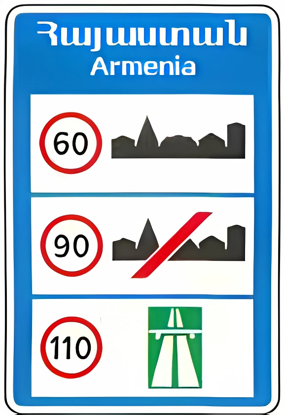 6.1 General maximum speed limit.
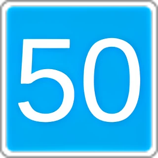 6.2 Recommended speed for this section of road.
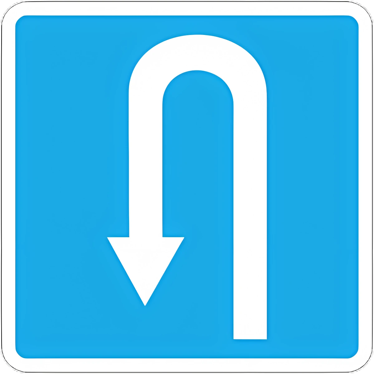 6.3.1 U-turn area (left turn prohibited).
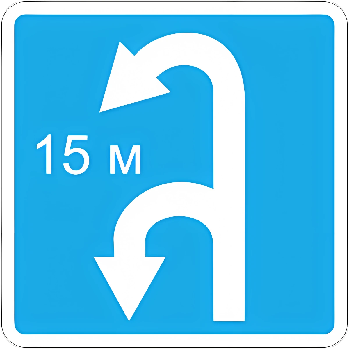 6.3.2 U-turn zone (left turn prohibited).
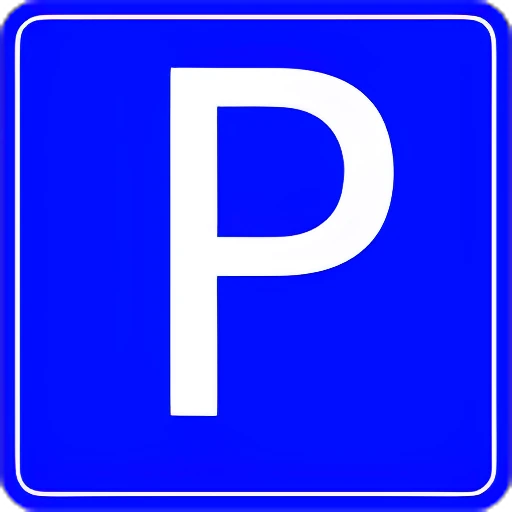 6.4 Parking (parking area).
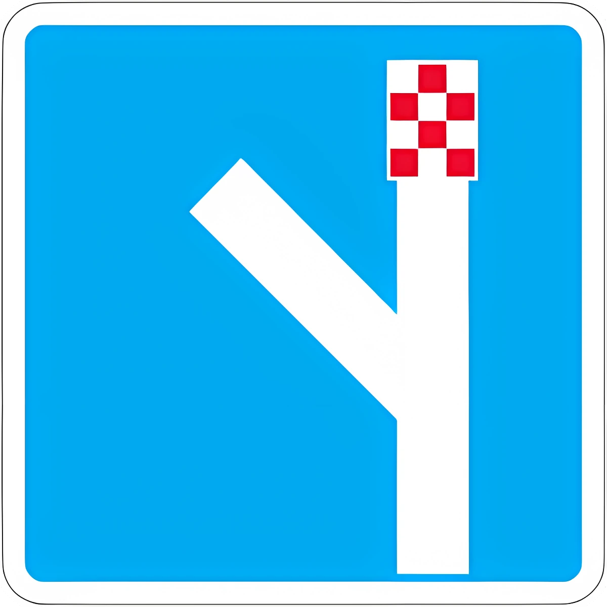 6.5 Emergency stopping lane.
 6.6 Underground pedestrian crossing.
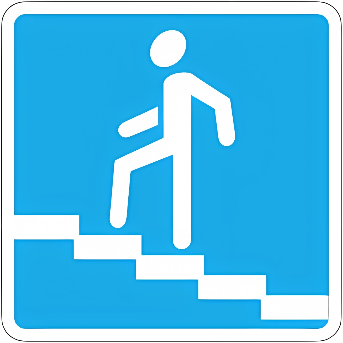 6.7 Pedestrian overpass.
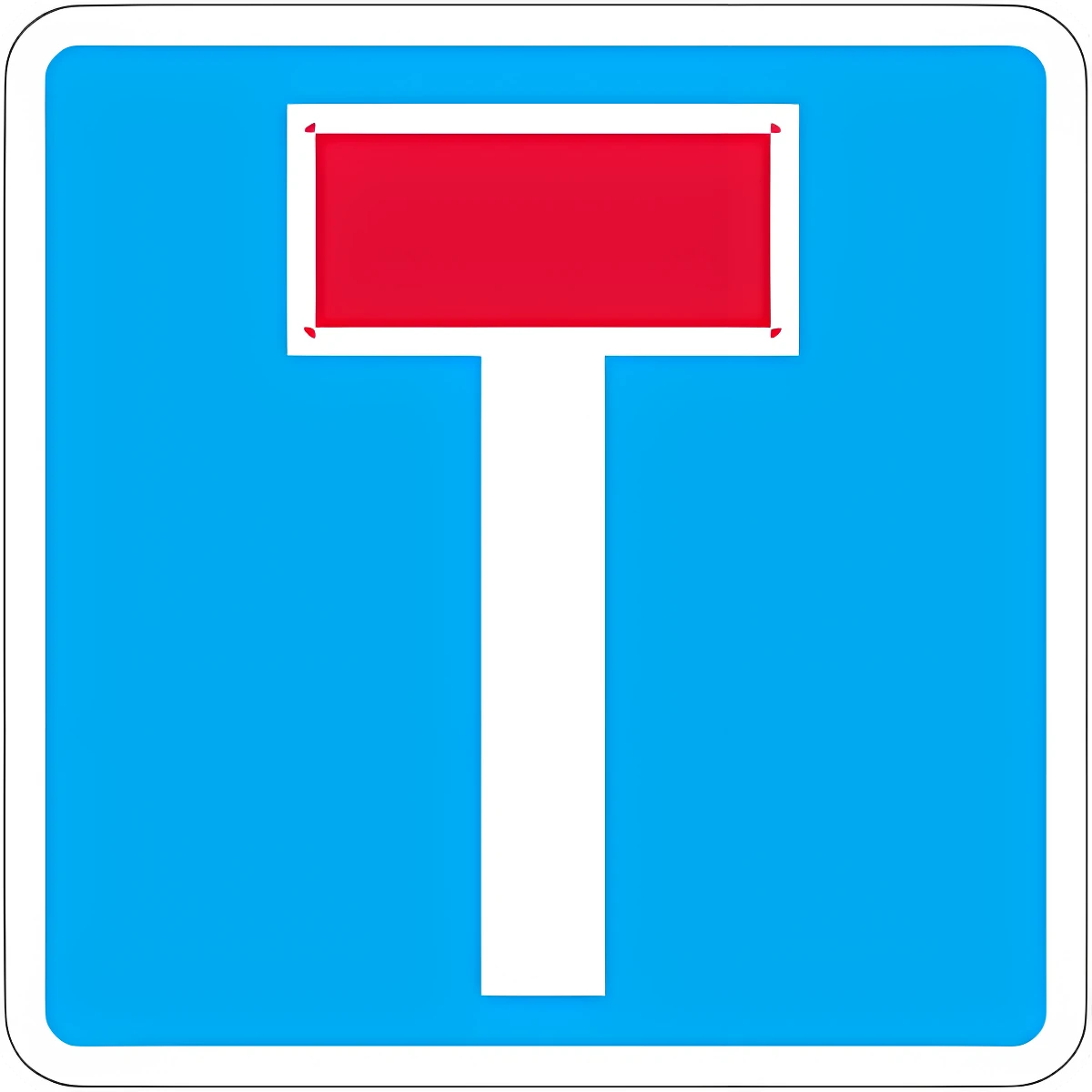 6.8.1 Dead end: a road with no through passage.
 6.8.2 Dead end: a road with no through passage.
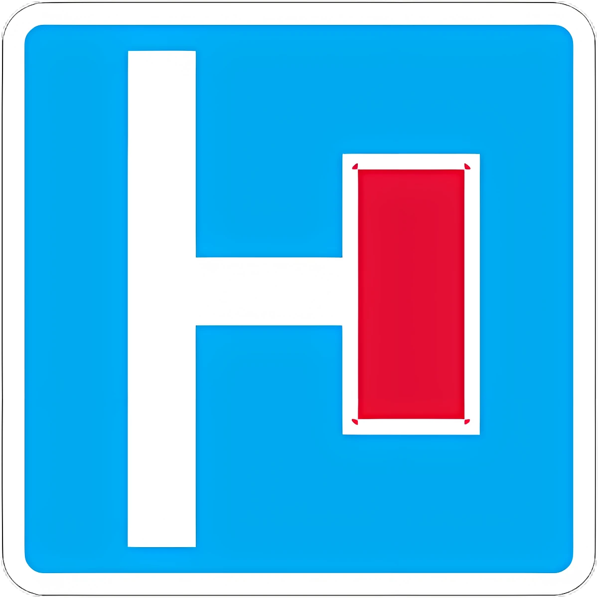 6.8.3 Dead end: a road with no through passage.
 6.9.1 Advance direction sign: directions to the towns/destinations shown, with route-number, motorway, airport, or other pictograms; also used to mark a detour around a restricted road section.
 6.9.2 Advance direction sign: directions to the towns/destinations shown, with route-number, motorway, airport, or other pictograms; also used to mark a detour around a restricted road section.
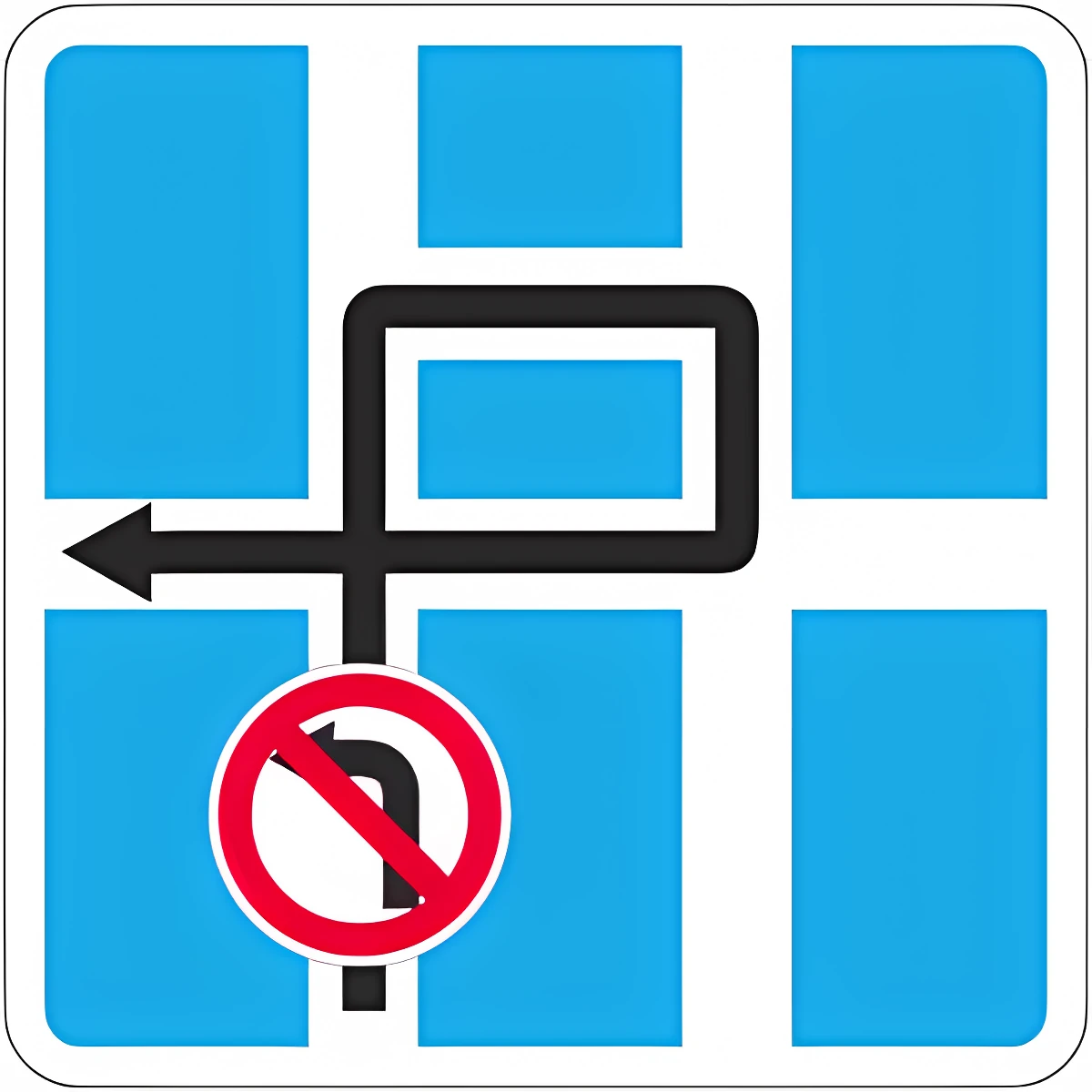 6.9.3 Traffic diagram: permitted directions at a complex intersection, or the route when certain maneuvers there are prohibited.
 6.10.1 Direction sign: directions to points along a route, with distances and pictograms.
 6.10.2 Direction sign: directions to points along a route, with distances and pictograms.
 6.11 Place name: names a landmark other than a built-up area (river, lake, mountain pass, etc.).
 6.12 Distance sign: distance (km) to towns along the route.
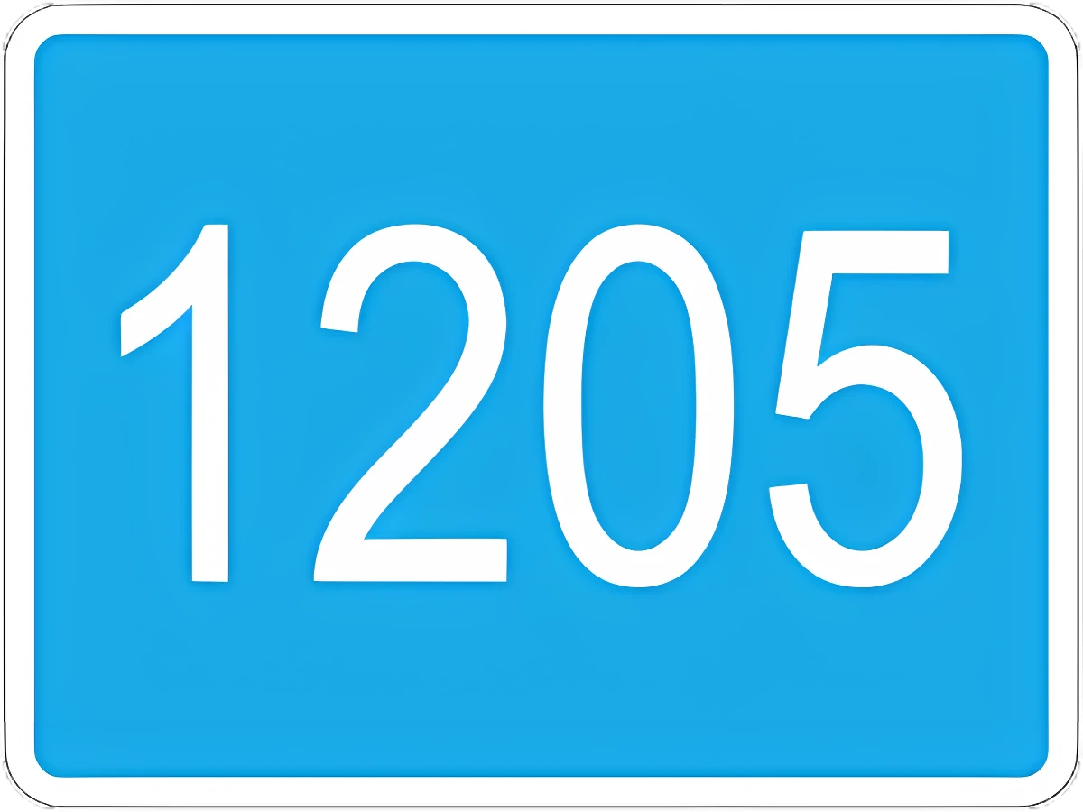 6.13 Kilometer post: distance (km) to the start or end of the road.
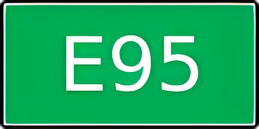 6.14.1 Route number (6.14.1 number only, 6.14.2 number and direction).
 6.14.2 Route number (6.14.1 number only, 6.14.2 number and direction).
 6.15.1 Recommended direction for trucks, tractors, and self-propelled machines when a direction at the intersection is closed to them.
 6.15.2 Recommended direction for trucks, tractors, and self-propelled machines when a direction at the intersection is closed to them.
 6.15.3 Recommended direction for trucks, tractors, and self-propelled machines when a direction at the intersection is closed to them.
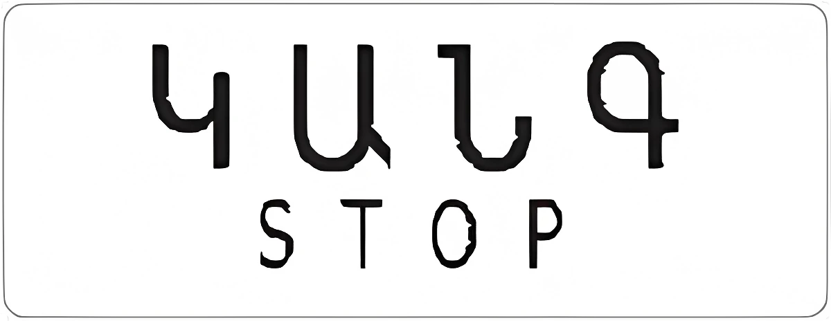 6.16 Stop line: where vehicles must stop at a red light or a controller's stop signal.
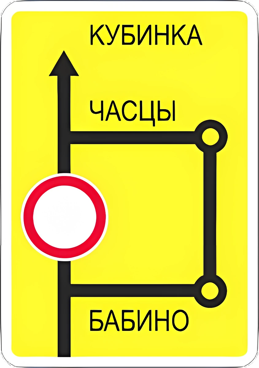 6.17 Detour diagram around a section of road temporarily closed to traffic.
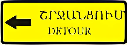 6.18.1 Detour direction around a section of road temporarily closed to traffic.
 6.18.2 Detour direction around a section of road temporarily closed to traffic.
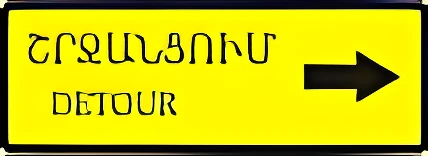 6.18.3 Detour direction around a section of road temporarily closed to traffic.
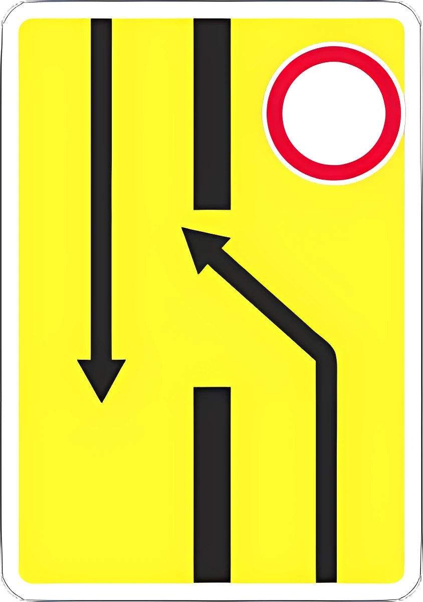 6.19.1 Advance lane-change sign: detour around a closed carriageway section on a divided road, or the way back to the right-hand carriageway.
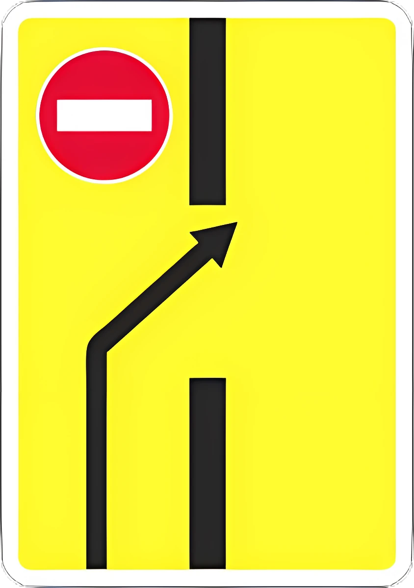 6.19.2 Advance lane-change sign: detour around a closed carriageway section on a divided road, or the way back to the right-hand carriageway.
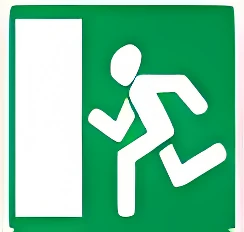 6.20.1 Emergency exit location in a tunnel.
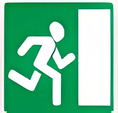 6.20.2 Emergency exit location in a tunnel.
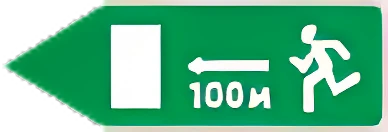 6.21.1 Direction and distance to an emergency exit.
Sign groups
Warning signs · Priority signs · Prohibitory signs · Mandatory signs · Special regulation signs · Service signs · Supplementary plates · Vehicle identification signs
Take this test in the app
In Varordakan Tester the same tests are taken without hints, wrong answers are collected automatically, and there is an exam simulation (20 questions, 30 minutes, pass at 18), a 3D intersection simulator, video lessons and an AI assistant that cites the Traffic Rules point. Free.
Sources: questions from the official bank of the Road Police of Armenia (roadpolice.am, edition of 6 November 2026); rule points from the Traffic Rules of the Republic of Armenia (arlis.am). Varordakan Tester is an independent educational app, not affiliated with the Police of Armenia.
Explanations © 2026 Varordakan Tester, all rights reserved; reproduction without permission is prohibited. Questions and pictures are from the official bank of the Road Police of Armenia.